3.1 km | 3.7 km-effort
Schlilierbach
ROPPJP
User
Length
9.3 km
Max alt
300 m
Uphill gradient
139 m
Km-Effort
11.2 km
Min alt
242 m
Downhill gradient
139 m
Boucle
Yes
Creation date :
2024-03-14 12:54:52.929
Updated on :
2024-03-14 16:02:23.278
3h07
Difficulty : Medium
FREE GPS app for hiking
About
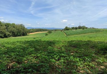
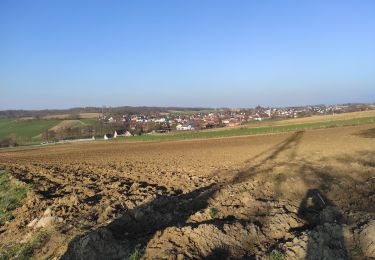
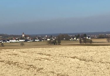
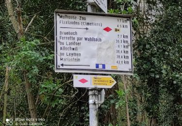
Trail Walking of 9.3 km to be discovered at Grand Est, Haut-Rhin, Schlierbach. This trail is proposed by ROPPJP.
Positioning
Country:
France
Region :
Grand Est
Department/Province :
Haut-Rhin
Municipality :
Schlierbach
Location:
Unknown
Start:(Dec)
Start:(UTM)
380905 ; 5282726 (32T) N.
Comments
Trails nearby
"Bromenade avec les kopains" du 03 /09/2024
Walking
Easy
Mulhouse,
Grand Est,
Haut-Rhin,
France
50min
Yes
Bartenheim
Walking
Difficult
Sierentz,
Grand Est,
Haut-Rhin,
France
11.5 km | 13.7 km-effort
3h 47min
Yes
Koetzingue
Walking
Medium
Kœtzingue,
Grand Est,
Haut-Rhin,
France
9 km | 10.7 km-effort
2h 53min
Yes
22 03 01. VTM
Walking
Difficult
Bruebach,
Grand Est,
Haut-Rhin,
France
6 km | 7.7 km-effort
2h 34min
Yes
JD 16/20 Boucle Bruebach Landser Eschentzwiller
Walking
Bruebach,
Grand Est,
Haut-Rhin,
France
7.8 km | 9.6 km-effort
1h 45min
Yes
JD M2A 11/20 Circuit des collines de Dietwiller
Walking
Dietwiller,
Grand Est,
Haut-Rhin,
France
6.2 km | 7.2 km-effort
1h 22min
Yes