


 (null)2d73a32012fbb405f85d3457f10971c41")
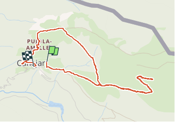

17.5 km | 36 km-effort


FREE GPS app for hiking
 SityTrail
IGN / Geographical institutes
SityTrail World
The world is yours!
Trail Walking of 6.3 km to be discovered at Catalonia, Lleida, Canejan. This trail is proposed by (null) (null)2d73a32012fbb405f85d3457f10971c41.
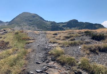
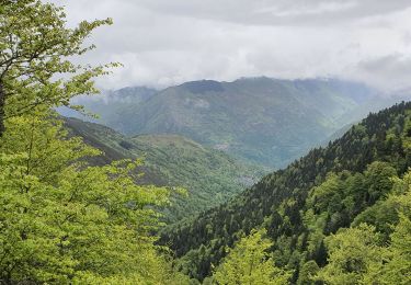
Beau temps belle montée jusqu’à cabane cap de MAHL
Walking
Walking
Walking
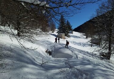
Snowshoes

Walking
Walking

Walking