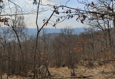
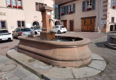
7.3 km | 10.6 km-effort
wihr au val
baratta
User
Length
10.7 km
Max alt
766 m
Uphill gradient
464 m
Km-Effort
16.9 km
Min alt
332 m
Downhill gradient
464 m
Boucle
Yes
Creation date :
2024-03-10 09:06:49.92
Updated on :
2024-03-10 13:31:19.583
3h42
Difficulty : Easy
FREE GPS app for hiking
About
Trail Walking of 10.7 km to be discovered at Grand Est, Haut-Rhin, Wihr-au-Val. This trail is proposed by baratta.
Positioning
Country:
France
Region :
Grand Est
Department/Province :
Haut-Rhin
Municipality :
Wihr-au-Val
Location:
Unknown
Start:(Dec)
Start:(UTM)
366216 ; 5323850 (32U) N.
Comments
Trails nearby
Le petit Hohnack - verkort (23)
Horseback riding
Easy
(1)
Gunsbach,
Grand Est,
Haut-Rhin,
France
13.1 km | 18.4 km-effort
2h 25min
Yes
Boucle de la fontaine de la dame
Walking
Medium
Wintzenheim,
Grand Est,
Haut-Rhin,
France
7.9 km | 12.6 km-effort
2h 0min
Yes
Château de Pflixbourg depuis Saint Gilles
Walking
Easy
(1)
Wintzenheim,
Grand Est,
Haut-Rhin,
France
3.7 km | 6.2 km-effort
1h 21min
Yes
Munster Narrenstein
Walking
Medium
(1)
Munster,
Grand Est,
Haut-Rhin,
France
4.7 km | 7.7 km-effort
1h 24min
No
Reco Rando du CLAS du 18/07/2024. par PBo
Walking
Very difficult
(1)
Wintzenheim,
Grand Est,
Haut-Rhin,
France
18.9 km | 27 km-effort
4h 43min
Yes
wihr au val - le petit hohnack
On foot
Medium
(1)
Walbach,
Grand Est,
Haut-Rhin,
France
15.6 km | 25 km-effort
5h 46min
Yes
Gunsbach - Munster
Walking
Difficult
Gunsbach,
Grand Est,
Haut-Rhin,
France
11.8 km | 18.3 km-effort
4h 9min
Yes
rdpr witzenheim 210907
Walking
Very difficult
Wintzenheim,
Grand Est,
Haut-Rhin,
France
16.2 km | 24 km-effort
5h 52min
Yes