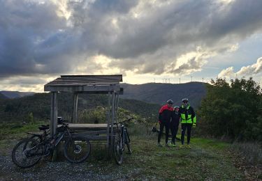
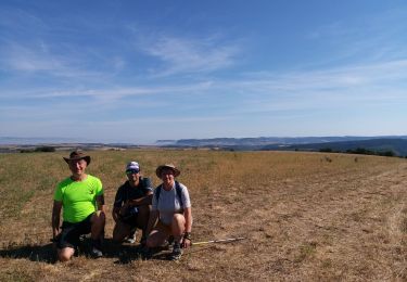
10.7 km | 14.8 km-effort
Montagnol in live ( aprés reco )
guytou12
User
Length
18.5 km
Max alt
718 m
Uphill gradient
486 m
Km-Effort
25 km
Min alt
468 m
Downhill gradient
485 m
Boucle
Yes
Creation date :
2024-03-09 08:56:45.768
Updated on :
2024-03-09 08:57:38.418
5h39
Difficulty : Medium
FREE GPS app for hiking
About
Trail On foot of 18.5 km to be discovered at Occitania, Aveyron, Montagnol. This trail is proposed by guytou12.
Positioning
Country:
France
Region :
Occitania
Department/Province :
Aveyron
Municipality :
Montagnol
Location:
Unknown
Start:(Dec)
Start:(UTM)
501064 ; 4853820 (31T) N.
Comments
Trails nearby
Le mazet trounas montagneol le mazet
Walking
Medium
Montagnol,
Occitania,
Aveyron,
France
8.2 km | 11.3 km-effort
2h 0min
Yes
sylvanes fayet
Mountain bike
Difficult
Sylvanès,
Occitania,
Aveyron,
France
28 km | 39 km-effort
2h 16min
Yes
la Loubiere
Walking
Medium
Saint-Félix-de-Sorgues,
Occitania,
Aveyron,
France
5.7 km | 7.8 km-effort
2h 5min
Yes
forêt rebouisses latour st Félix
Mountain bike
Difficult
Saint-Félix-de-Sorgues,
Occitania,
Aveyron,
France
27 km | 34 km-effort
1h 51min
Yes
st Félix lascours ar
Mountain bike
Very difficult
Saint-Félix-de-Sorgues,
Occitania,
Aveyron,
France
52 km | 70 km-effort
3h 53min
Yes
la mouline rocozels cenomes
Mountain bike
Very difficult
Fondamente,
Occitania,
Aveyron,
France
48 km | 66 km-effort
3h 55min
Yes
ceilhes le clapier moulés
Mountain bike
Very difficult
Saint-Félix-de-Sorgues,
Occitania,
Aveyron,
France
54 km | 70 km-effort
3h 29min
Yes