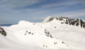

la grande Moutonnière

nadd73
User GUIDE

Length
9.4 km

Max alt
2269 m

Uphill gradient
1066 m

Km-Effort
24 km

Min alt
1195 m

Downhill gradient
1064 m
Boucle
Yes
Creation date :
2024-03-08 07:00:35.399
Updated on :
2024-03-08 19:15:57.674
4h10
Difficulty : Easy

FREE GPS app for hiking
About
Trail Touring skiing of 9.4 km to be discovered at Auvergne-Rhône-Alpes, Savoy, Saint-Rémy-de-Maurienne. This trail is proposed by nadd73.
Description
départ de Varrat 250m de portage.
vent glacial et sommet crouté donc je n'ai pas fini les 50m qu'il me restait pour celui-ci.
Sinon j'ai trouvé de la poudre, alors que je n'y croyais pas trop.
Positioning
Country:
France
Region :
Auvergne-Rhône-Alpes
Department/Province :
Savoy
Municipality :
Saint-Rémy-de-Maurienne
Location:
Unknown
Start:(Dec)
Start:(UTM)
283629 ; 5030399 (32T) N.
Comments
Trails nearby
Le Grand Miceau


Touring skiing
Difficult
Saint-Rémy-de-Maurienne,
Auvergne-Rhône-Alpes,
Savoy,
France

10.5 km | 30 km-effort
5h 34min
Yes
Tentative du Grand Miceau


Touring skiing
Medium
Saint-Rémy-de-Maurienne,
Auvergne-Rhône-Alpes,
Savoy,
France

9.8 km | 27 km-effort
4h 26min
Yes
col de la pierre et plus


Touring skiing
Medium
Saint-Rémy-de-Maurienne,
Auvergne-Rhône-Alpes,
Savoy,
France

12.7 km | 34 km-effort
6h 0min
Yes
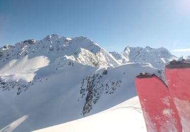
Tête de la Laperrière et grosse Tête


Touring skiing
Medium
Saint-Rémy-de-Maurienne,
Auvergne-Rhône-Alpes,
Savoy,
France

13.6 km | 33 km-effort
6h 8min
Yes

pré Charvin


Touring skiing
Medium
Saint-Rémy-de-Maurienne,
Auvergne-Rhône-Alpes,
Savoy,
France

10.9 km | 27 km-effort
5h 19min
Yes
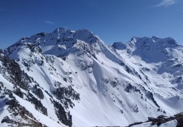
la grande moutonnière, et Grosse tête


Touring skiing
Medium
Saint-Rémy-de-Maurienne,
Auvergne-Rhône-Alpes,
Savoy,
France

12.3 km | 30 km-effort
6h 32min
Yes
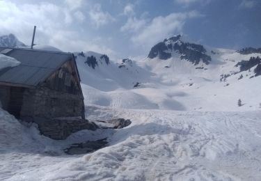
La tête de la perrière et Pré Charvin


Touring skiing
Medium
Saint-Rémy-de-Maurienne,
Auvergne-Rhône-Alpes,
Savoy,
France

14.9 km | 34 km-effort
6h 41min
Yes
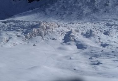
col de la Valette


Touring skiing
Difficult
Saint-Rémy-de-Maurienne,
Auvergne-Rhône-Alpes,
Savoy,
France

14.4 km | 37 km-effort
6h 25min
Yes
col du gd Cucheron


Road bike
Medium
Saint-Rémy-de-Maurienne,
Auvergne-Rhône-Alpes,
Savoy,
France

46 km | 63 km-effort
2h 53min
Yes


 SityTrail


