


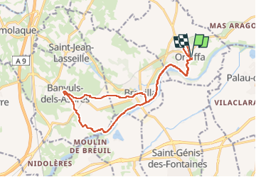


33 km | 40 km-effort

User


FREE GPS app for hiking
 SityTrail
IGN / Geographical institutes
SityTrail World
The world is yours!
Trail Walking of 19 km to be discovered at Occitania, Pyrénées-Orientales, Ortaffa. This trail is proposed by ThonyM.
Pour qui n’aime pas les dénivelés importants. A éviter par grande pluie et grosses chaleurs


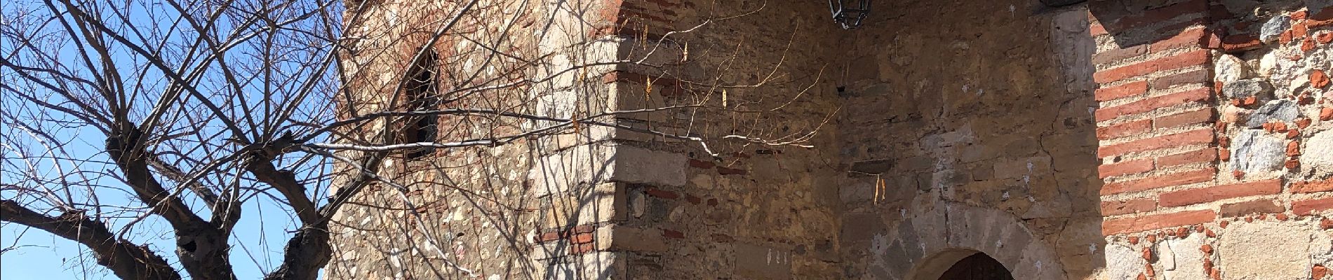
21 photos in total. Please click on a photo to see them all in the gallery.

Quad

Walking

Walking

Walking

Walking

Walking
Walking

Walking

Walking