


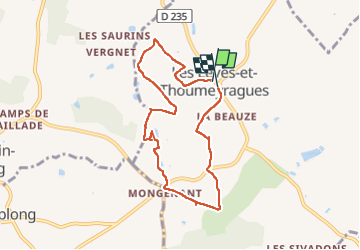


11.2 km | 13.6 km-effort


User


FREE GPS app for hiking
 SityTrail
IGN / Geographical institutes
SityTrail World
The world is yours!
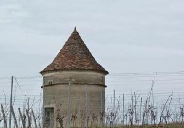
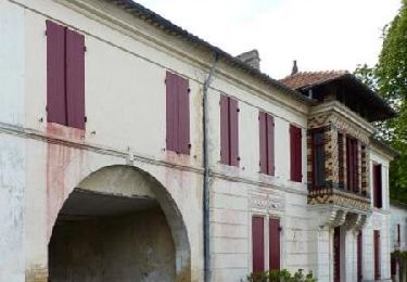
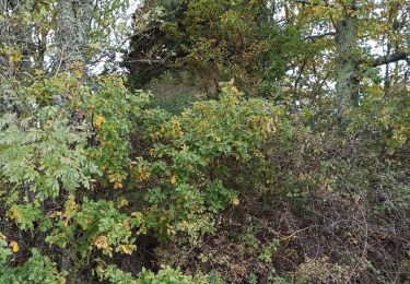
Trail Walking of 7.7 km to be discovered at New Aquitaine, Gironde, Les Lèves-et-Thoumeyragues. This trail is proposed by danielletara.

Walking
Walking
Walking
Walking

Walking

Nordic walking
Walking
Walking