


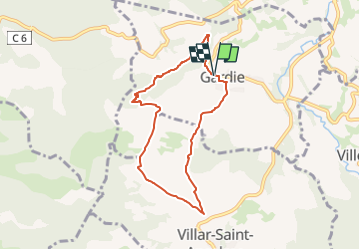

12.9 km | 16.8 km-effort


User


FREE GPS app for hiking
 SityTrail
IGN / Geographical institutes
SityTrail World
The world is yours!
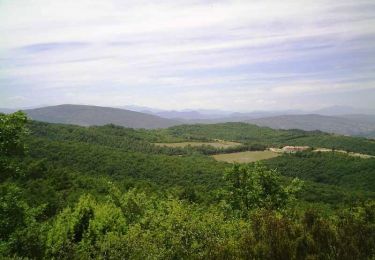
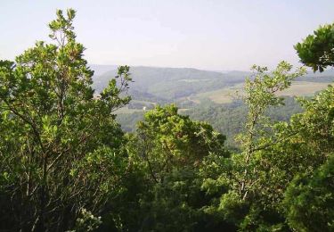
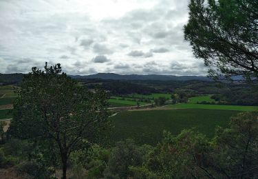
Trail On foot of 7.2 km to be discovered at Occitania, Aude, Gardie. This trail is proposed by Combaut11.
Boucle autour de Gardie
Gardie - La Férande - Pech Bérou - Linas - Gannibert - Gardie
Prendre la D104 au domaine d'Auriac en direction de Cavannac et de Saint-Hilaire. Puis la D151 vers gardie.
Se garer à l'entrée de Gardie sur le parking de la contre allée à droite.


On foot

Walking
Mountain bike
Mountain bike

Walking

Walking

On foot
Walking