


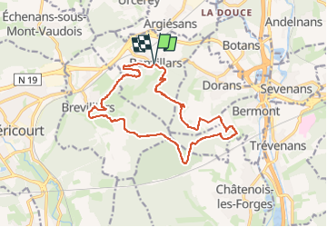


12 km | 16.4 km-effort

User


FREE GPS app for hiking
 SityTrail
IGN / Geographical institutes
SityTrail World
The world is yours!
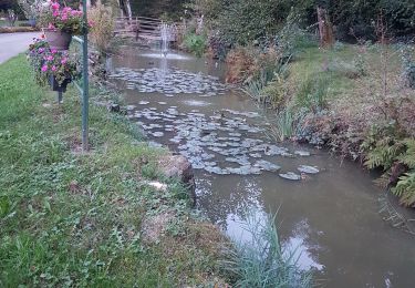
Trail Walking of 16.3 km to be discovered at Bourgogne-Franche-Comté, Territoire-de-Belfort, Banvillars. This trail is proposed by Bart2015.
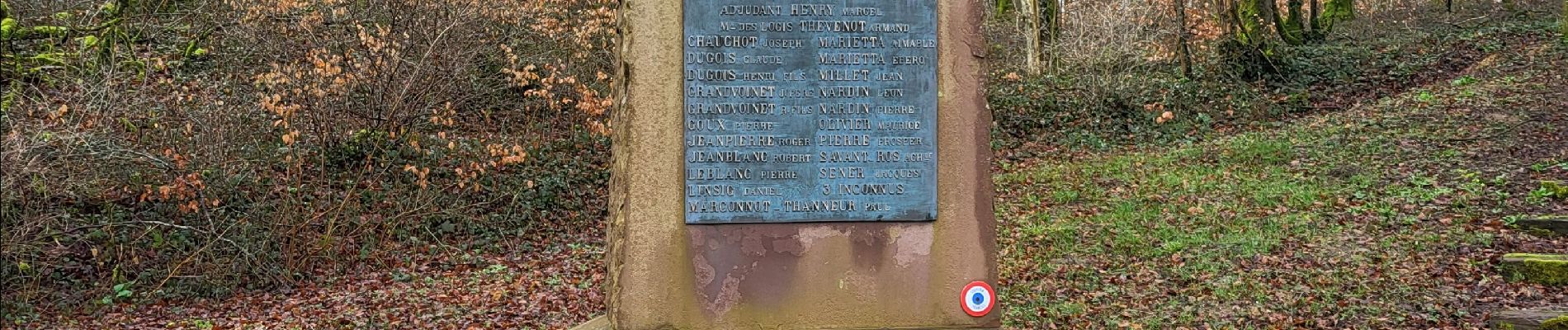
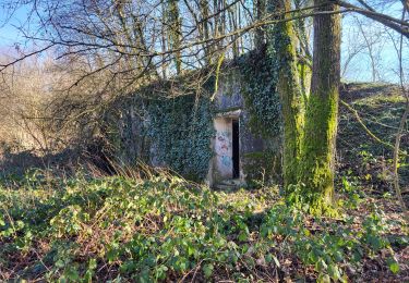
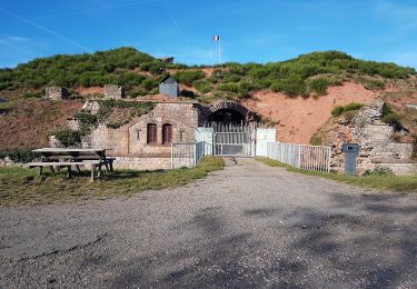
Randonnée avec un retour en arrière de 150 ans pour découvrir les fortifications autour de Banvillars, Brévilliers et Bermont.
Elle traverse diverses zones militaires qui sont libres de passage sauf si des manoeuvres sont en cours (ce qui est très rare). Attention à rester vigilant au abord des ruines.
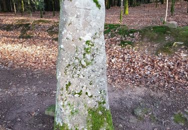
Passage également près du dolmen de Brévilliers.
Randonnée difficile en période de pluie (beaucoup de boue). Les sentiers ne sont pas toujours visibles sur la carte mais ils existent vraiment.
Bonne rando ...


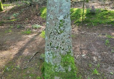
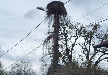
28 photos in total. Please click on a photo to see them all in the gallery.
Walking

Mountain bike
Electric bike
Electric bike
Walking
Walking
Mountain bike
Mountain bike
Walking