


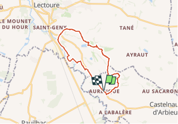

18.8 km | 24 km-effort


2 possibilités


FREE GPS app for hiking
 SityTrail
IGN / Geographical institutes
SityTrail World
The world is yours!
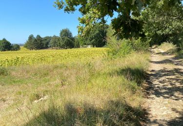
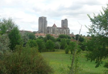
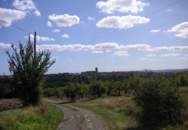
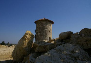
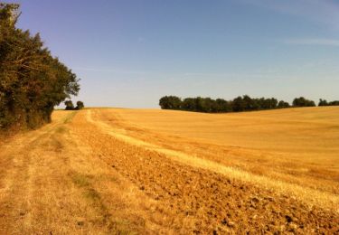
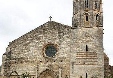
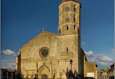
Trail Walking of 12.7 km to be discovered at Occitania, Gers, Castelnau-d'Arbieu. This trail is proposed by RandoAria .
Walking
Walking
Mountain bike
Walking

Walking
Mountain bike
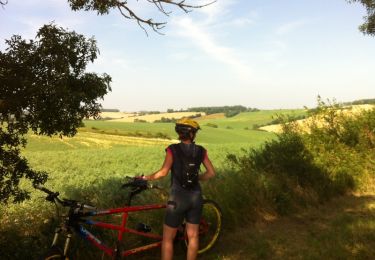
Mountain bike
Walking
Walking