8.2 km | 10.3 km-effort
Lutrebois 150224
guyernage25
User
Length
16.4 km
Max alt
550 m
Uphill gradient
331 m
Km-Effort
21 km
Min alt
433 m
Downhill gradient
339 m
Boucle
Yes
Creation date :
2024-02-15 09:16:32.262
Updated on :
2024-02-19 09:23:43.139
3h54
Difficulty : Easy
FREE GPS app for hiking
About
Trail Walking of 16.4 km to be discovered at Wallonia, Luxembourg, Bastogne. This trail is proposed by guyernage25.
Description
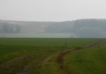
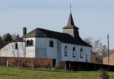
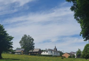
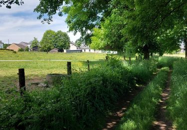
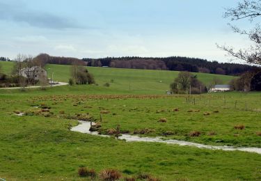
belle balade dans la vallée de la Strange
Positioning
Country:
Belgium
Region :
Wallonia
Department/Province :
Luxembourg
Municipality :
Bastogne
Location:
Unknown
Start:(Dec)
Start:(UTM)
695949 ; 5537598 (31U) N.
Comments
Trails nearby
Hompré. Natura 2000, des sites qui valent le détour. Lx8
Walking
Easy
(5)
Vaux-sur-Sûre,
Wallonia,
Luxembourg,
Belgium
2h 12min
Yes
Promenade de Sans-souci
On foot
Easy
Bastogne,
Wallonia,
Luxembourg,
Belgium
10 km | 11.7 km-effort
2h 40min
Yes
RB-Lu-27_Lutrebois
Walking
Very easy
Bastogne,
Wallonia,
Luxembourg,
Belgium
31 km | 39 km-effort
8h 27min
Yes
RB-Lu-27_Lutrebois_Boucle-2
Walking
Very easy
Bastogne,
Wallonia,
Luxembourg,
Belgium
21 km | 26 km-effort
5h 4min
Yes
RB-Lu-27_Lutrebois_Boucle-1
Walking
Very easy
Bastogne,
Wallonia,
Luxembourg,
Belgium
18.4 km | 23 km-effort
5h 3min
Yes
rando lutrebois
Walking
Medium
Bastogne,
Wallonia,
Luxembourg,
Belgium
17.2 km | 21 km-effort
3h 57min
Yes
rando lutrebois 2-06-2022
Walking
Medium
Bastogne,
Wallonia,
Luxembourg,
Belgium
18.5 km | 23 km-effort
4h 16min
Yes
Lutrebois 030622
Walking
Medium
Bastogne,
Wallonia,
Luxembourg,
Belgium
18.8 km | 23 km-effort
4h 40min
Yes
Promenade des Écureuils
On foot
Easy
Vaux-sur-Sûre,
Wallonia,
Luxembourg,
Belgium
12.2 km | 15.3 km-effort
3h 28min
Yes