


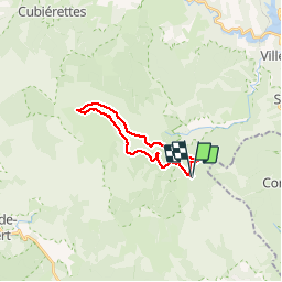

11.2 km | 14.8 km-effort


User


FREE GPS app for hiking
 SityTrail
IGN / Geographical institutes
SityTrail World
The world is yours!
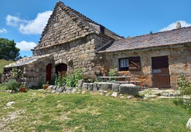
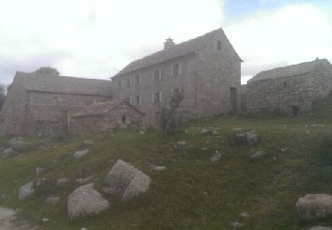
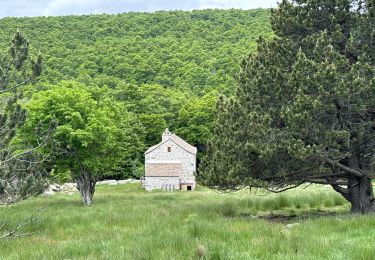
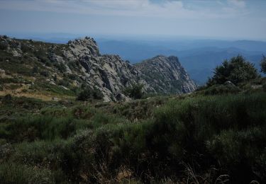
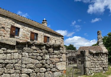
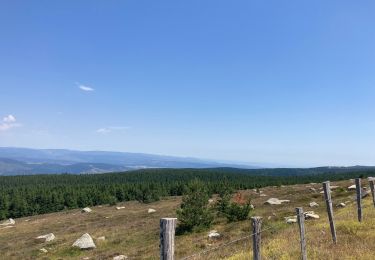
Trail Walking of 18.8 km to be discovered at Occitania, Lozère, Vialas. This trail is proposed by grageot.
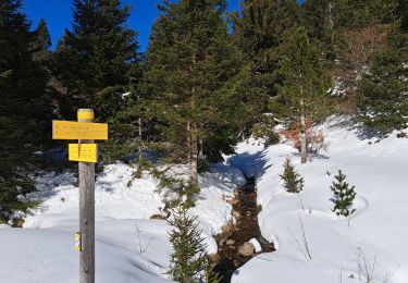
belle ballade dans les landes et forêt avec bartass dans le flanc de la montagne. La durée annoncée est due à la neige encore présente en ce 12 mars et qui ralentit la progression
Walking
Walking
Walking

sport


Walking
Walking
Walking
Electric bike