

Tarascon

Manoune
User

Length
12.1 km

Max alt
90 m

Uphill gradient
130 m

Km-Effort
13.8 km

Min alt
5 m

Downhill gradient
130 m
Boucle
Yes
Creation date :
2024-02-18 08:29:10.917
Updated on :
2024-02-22 15:08:22.576
3h18
Difficulty : Easy

FREE GPS app for hiking
About
Trail Walking of 12.1 km to be discovered at Provence-Alpes-Côte d'Azur, Bouches-du-Rhône, Tarascon. This trail is proposed by Manoune.
Description
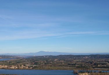
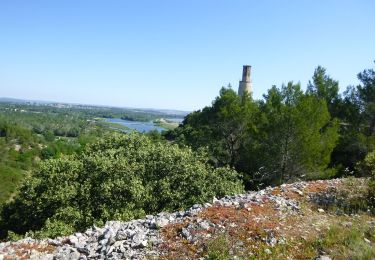
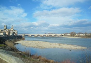
Départ du parking du camping Tartarin. Circuit le long de la digue jusqu'à la chapelle St Victor. Piste du Mas de Bouquet et retour par la digue. Rando facile.
Positioning
Country:
France
Region :
Provence-Alpes-Côte d'Azur
Department/Province :
Bouches-du-Rhône
Municipality :
Tarascon
Location:
Unknown
Start:(Dec)
Start:(UTM)
633163 ; 4851829 (31T) N.
Comments
Trails nearby

Abbaye de St-Roman


Walking
Easy
(1)
Comps,
Occitania,
Gard,
France

5 km | 6.8 km-effort
1h 27min
Yes
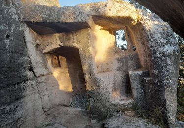
Abbaye de St Roman


Walking
Medium
Beaucaire,
Occitania,
Gard,
France

7.2 km | 10.5 km-effort
3h 25min
Yes
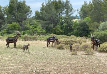
Chapelle Saint Gabriel


Walking
Very difficult
Tarascon,
Provence-Alpes-Côte d'Azur,
Bouches-du-Rhône,
France

18.6 km | 25 km-effort
5h 23min
Yes

Saint Roman - Beaucaire


Walking
Medium
(1)
Beaucaire,
Occitania,
Gard,
France

8.2 km | 9.6 km-effort
2h 11min
Yes
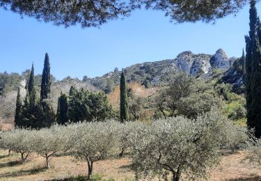
CR_Domitia_BA_23_Tarascon_St-Remy-Provence_20220404


Walking
Medium
Tarascon,
Provence-Alpes-Côte d'Azur,
Bouches-du-Rhône,
France

17 km | 22 km-effort
4h 42min
No
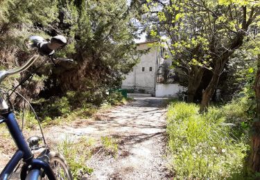
Voie verte depuis barrage de Vallabrègues Intersport Marguillier Saint Félix ...


Hybrid bike
Easy
Comps,
Occitania,
Gard,
France

9.1 km | 10.4 km-effort
1h 0min
No
Beaucaire/ St Roman


Walking
Easy
Beaucaire,
Occitania,
Gard,
France

14.7 km | 18.6 km-effort
3h 42min
Yes
Via Rhôna de Tarascon à bourg-saint-andéol


Cycle
Easy
Tarascon,
Provence-Alpes-Côte d'Azur,
Bouches-du-Rhône,
France

108 km | 118 km-effort
6h 46min
No


 SityTrail


