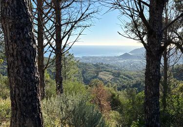
Trail On foot Tanneron - Tanneron Mimosas Traditionnel - Photo

Tanneron Mimosas Traditionnel

 Renefrt
Renefrt

User

© OpenStreetMap contributors
Length
Length
14.8 km
Max alt
Max alt
484 m
Uphill gradient
Uphill gradient
505 m
Km-Effort
Km-Effort  
22 km
Min alt
Min alt
155 m
Downhill gradient
Downhill gradient
505 m
Boucle
Boucle
Yes
Creation date :
2024-02-18 09:54:17.233
Updated on :
2024-02-19 16:36:04.463

(0 Reviews)

On foot
On foot
4h54
Difficulty : Medium

Scan this QR Code to open this trail in the SityTrail application

FREE GPS app for hiking

Logo SityTrail SityTrail

IGN / Geographical institutes

Download SityTrail from the App Store Download SityTrail from Google Play

Logo SityTrail SityTrail World

The world is yours!

Download SityTrail from the App Store Download SityTrail from Google Play Download SityTrail on Huawei AppGallery

About

Trail On foot of 14.8 km to be discovered at Provence-Alpes-Côte d'Azur, Var, Tanneron. This trail is proposed by Renefrt.

Description

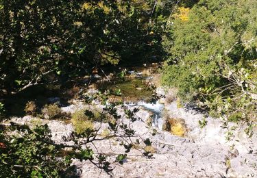
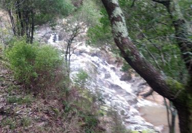
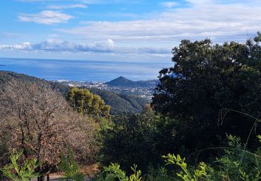
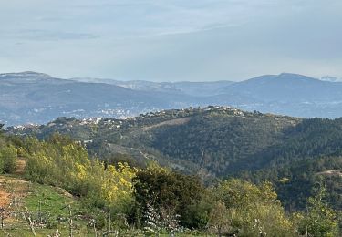
Départ TANNERON (357m) – Du stade en traversant les premiers champs de mimosa- au panneau décrivant le mimosa prendre la piste à droite qui descend au fond du vallon (202m)- continuer au Nord-Ouest jusqu’ à la D38 (153m)- passer le pont et prendre au sud un chemin raviné qui monte dans le vallon de l’Aubarie et rejoint les Farinas (460m) où se trouve une nouvelle plantation de mimosas – traverser le hameau en suivant la route puis quitter celle-ci dans un virage pour un chemin à droite qui part à plat dans les mimosas pour descendre ensuite et retrouver la route (382m)- après 300m quitter la route une piste à gauche qui conduit à un pont (250m) – tourner à gauche sur une petite piste qui remonte au stade puis au village de TANNERON (357m).
Distance :16km – dénivelée montée : 525m

Elevation profile

Positioning

Country:
France
Region :
Provence-Alpes-Côte d'Azur
Department/Province :
Var
Municipality :
Tanneron
Location:
Unknown
Start:(UTM)
328435 ; 4827880 (32T) N.

Trails nearby

Trail On foot Tanneron - La chapelle de St Cassien des bois, le pont détruit et au fil de l'eau - Photo
On foot
boulinevelyne

On foot

Easy
(5)
Tanneron, Provence-Alpes-Côte d'Azur, Var, France
7.3 km | 10.3 km-effort
2h 19min
Yes
Trail Walking Tanneron - Tanneron les mimosas - Photo
Walking
Michel DUBOIS

Walking

Very easy
(1)
Tanneron, Provence-Alpes-Côte d'Azur, Var, France
12 km | 17.8 km-effort
3h 25min
Yes
Trail Walking Tanneron - Tanneron - petite boucle 12-02-2022 - Photo
Walking
GUIDE
fredetpascale

Walking

Easy
Tanneron, Provence-Alpes-Côte d'Azur, Var, France
7.5 km | 10.8 km-effort
2h 0min
Yes
Trail Walking Mandelieu-la-Napoule - Grand Duc Alternatif - Photo
Walking
exxonz

Walking

Very easy
(1)
Mandelieu-la-Napoule, Provence-Alpes-Côte d'Azur, Maritime Alps, France
6.4 km | 9.1 km-effort
2h 0min
Yes
Trail sport Tanneron - Tanneron - Photo
sport
alinetpierre

sport

Very easy
Tanneron, Provence-Alpes-Côte d'Azur, Var, France
9.7 km | 13.9 km-effort
Unknown
Yes
Trail Walking Tanneron - 2024-02-16 Tanneron Mimosas - Photo
Walking
GUIDE
Kargil

Walking

Medium
Tanneron, Provence-Alpes-Côte d'Azur, Var, France
11.1 km | 17.8 km-effort
4h 2min
Yes
Trail Mountain bike Tanneron - autour de tanneron - Photo
Mountain bike
papamorse

Mountain bike

Very difficult
(1)
Tanneron, Provence-Alpes-Côte d'Azur, Var, France
30 km | 41 km-effort
2h 50min
Yes
Trail sport Mandelieu-la-Napoule - Forêt du Grand Duc - Tanneron - Photo
sport
000837.d1413b0437e14c51ba1cc22669f70606.1648

sport

Very easy
Mandelieu-la-Napoule, Provence-Alpes-Côte d'Azur, Maritime Alps, France
8.4 km | 12.1 km-effort
Unknown
Yes
Trail Walking Tanneron - Les Mimosas-Tanneron-13-01-2023 - Photo
Walking
Christiancordin

Walking

Medium
Tanneron, Provence-Alpes-Côte d'Azur, Var, France
16.9 km | 24 km-effort
4h 12min
Yes


Close
My subscriptions