


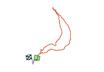

8.2 km | 18.4 km-effort


User


FREE GPS app for hiking
 SityTrail
IGN / Geographical institutes
SityTrail World
The world is yours!
Trail Walking of 8.3 km to be discovered at Provence-Alpes-Côte d'Azur, Hautes-Alpes, Châteauroux-les-Alpes. This trail is proposed by damlou.
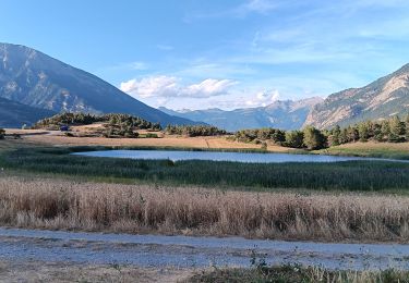
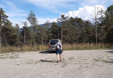
Départ Chamousse
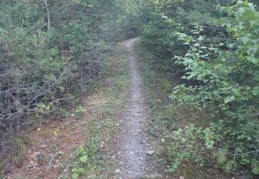
plein Sud une partie dégagée une partie bois une partie dégagée

Walking

Walking

Walking

Walking

Walking

Walking
Walking
Walking
Walking
Belle balade avec une superbe vue sur La Durance et le Rabiou plein Sud Aller par les balcons de la Durance retour par le sentier du facteur 2 parties dégagée 1 partie forêt