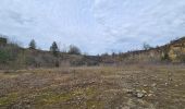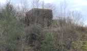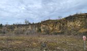

Arry - côte Saint Pierre - Vezon - Marieulles - Lorry Mardigny - Arry

jean-marie.parachini
User

Length
13.9 km

Max alt
405 m

Uphill gradient
309 m

Km-Effort
18 km

Min alt
234 m

Downhill gradient
318 m
Boucle
Yes
Creation date :
2024-02-15 09:11:20.953
Updated on :
2024-02-16 09:24:25.75
24h12
Difficulty : Medium

FREE GPS app for hiking
About
Trail Walking of 13.9 km to be discovered at Grand Est, Moselle, Arry. This trail is proposed by jean-marie.parachini.
Description
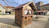
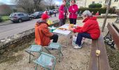
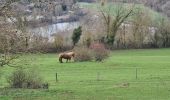
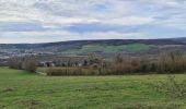
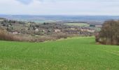
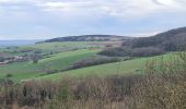
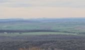
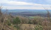
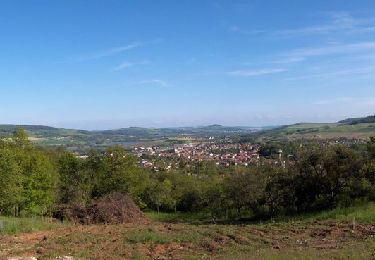
panoramas sur la ligne bleue des vosges - sapinieres - blockhaus - anciennes carrières- pelouses calcaires - un paysage parfois un peu vosgien.
Positioning
Country:
France
Region :
Grand Est
Department/Province :
Moselle
Municipality :
Arry
Location:
Unknown
Start:(Dec)
Start:(UTM)
284865 ; 5431292 (32U) N.
Comments
Trails nearby


Pagny sur Moselle


Walking
Very easy
(1)
Pagny-sur-Moselle,
Grand Est,
Meurthe-et-Moselle,
France

18.1 km | 23 km-effort
4h 55min
Yes
CHAMPEY - LA FRONTIERE


Walking
Easy
Champey-sur-Moselle,
Grand Est,
Meurthe-et-Moselle,
France

10.7 km | 14.5 km-effort
3h 31min
Yes
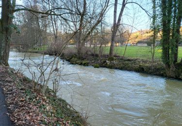
ARNAVILLE - LES AÏTRES MEDIEVAUX


Walking
Easy
Arnaville,
Grand Est,
Meurthe-et-Moselle,
France

12.7 km | 15.6 km-effort
3h 51min
Yes
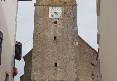
ARNAVILLE - LA VALLEE DU RUPT DE MAD


Walking
Easy
Arnaville,
Grand Est,
Meurthe-et-Moselle,
France

9.9 km | 13.5 km-effort
3h 55min
Yes
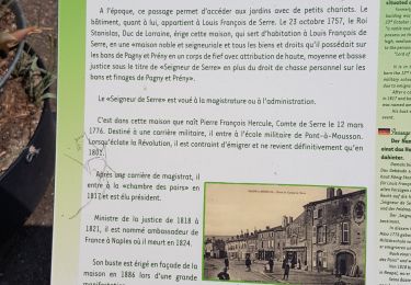
PAGNY SUR MOSELLE - VAL ET PLATEAU


Walking
Medium
Pagny-sur-Moselle,
Grand Est,
Meurthe-et-Moselle,
France

18.1 km | 23 km-effort
6h 46min
Yes
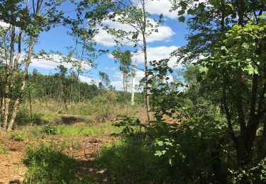
Forêt de Preny dévastée quelle dommage


Walking
Medium
Prény,
Grand Est,
Meurthe-et-Moselle,
France

7.4 km | 9.7 km-effort
1h 14min
No

Marche Prény 2017


Walking
Medium
(1)
Prény,
Grand Est,
Meurthe-et-Moselle,
France

9.5 km | 13 km-effort
2h 41min
Yes
Vélo et Nature 2014 - Pagny sur Moselle


Mountain bike
Medium
Pagny-sur-Moselle,
Grand Est,
Meurthe-et-Moselle,
France

34 km | 43 km-effort
2h 0min
Yes


 SityTrail


