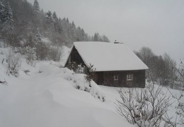
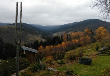
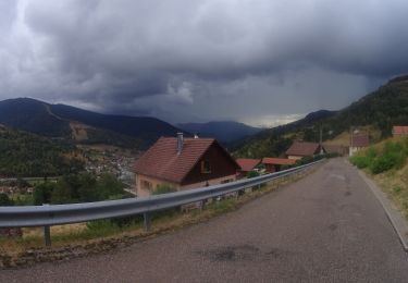
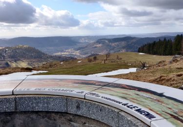
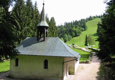
15 km | 24 km-effort
Rando les Marcheurs..Col d'Oderen.18 km..715m D+/-
boubou68
User
Length
18.6 km
Max alt
1042 m
Uphill gradient
716 m
Km-Effort
28 km
Min alt
656 m
Downhill gradient
718 m
Boucle
Yes
Creation date :
2024-02-15 08:36:00.499
Updated on :
2024-02-15 15:26:40.04
4h38
Difficulty : Very difficult
FREE GPS app for hiking
About
Trail Walking of 18.6 km to be discovered at Grand Est, Vosges, Ventron. This trail is proposed by boubou68.
Description
Le relief et le profil relativement exigeants
Positioning
Country:
France
Region :
Grand Est
Department/Province :
Vosges
Municipality :
Ventron
Location:
Unknown
Start:(Dec)
Start:(UTM)
344401 ; 5309806 (32T) N.
Comments
Trails nearby
Col de Bussang - Rouge Gazon - Séchenat
Walking
Difficult
(1)
Bussang,
Grand Est,
Vosges,
France
6h 0min
No
Circuit de raquette de Bussang
Snowshoes
Difficult
(1)
Bussang,
Grand Est,
Vosges,
France
7.7 km | 11.2 km-effort
3h 0min
Yes
L'Ermitage du Frère Joseph depuis Ventron
Walking
Easy
(1)
Ventron,
Grand Est,
Vosges,
France
10.2 km | 15.4 km-effort
2h 49min
Yes
Felsach _chapelle ST Nicolas_frenz
Walking
Difficult
(3)
Fellering,
Grand Est,
Haut-Rhin,
France
9.6 km | 16.5 km-effort
3h 45min
Yes
activity_9407679223
Mountain bike
Medium
Bussang,
Grand Est,
Vosges,
France
21 km | 30 km-effort
2h 2min
Yes
2022-02-19 Marche Ventron Tête des Champs
Walking
Very difficult
Ventron,
Grand Est,
Vosges,
France
22 km | 34 km-effort
5h 52min
Yes
Circuit de la Croix de l’Hermite par Forgoutte
On foot
Easy
Ventron,
Grand Est,
Vosges,
France
4.3 km | 6.6 km-effort
1h 29min
No
Circuit panoramique de la Futaie
On foot
Easy
Ventron,
Grand Est,
Vosges,
France
8.8 km | 12.6 km-effort
2h 52min
Yes
Bussang_20210918_101006
Mountain bike
Very easy
Bussang,
Grand Est,
Vosges,
France
30 km | 43 km-effort
Unknown
No