

Saint Étienne des Sorts

Christophe Toubas
User

Length
8.7 km

Max alt
149 m

Uphill gradient
132 m

Km-Effort
10.6 km

Min alt
44 m

Downhill gradient
166 m
Boucle
No
Creation date :
2024-02-14 13:36:01.671
Updated on :
2024-02-14 16:40:16.483
2h15
Difficulty : Medium

FREE GPS app for hiking
About
Trail Walking of 8.7 km to be discovered at Occitania, Gard, Saint-Étienne-des-Sorts. This trail is proposed by Christophe Toubas.
Description
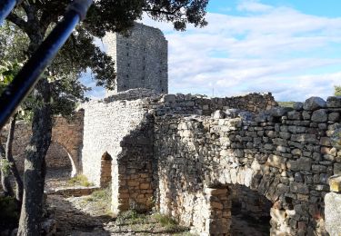
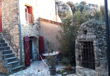
Belle randonnée, très peu de routes, beaucoup de sentiers en forêt que j'ai découvert. De bonnes montées et descentes avec cailloux.
Positioning
Country:
France
Region :
Occitania
Department/Province :
Gard
Municipality :
Saint-Étienne-des-Sorts
Location:
Unknown
Start:(Dec)
Start:(UTM)
635809 ; 4894636 (31T) N.
Comments
Trails nearby

Mondragon -Mornas


Walking
Very easy
(1)
Mondragon,
Provence-Alpes-Côte d'Azur,
Vaucluse,
France

16.3 km | 21 km-effort
4h 28min
Yes

Piolenc - Valbonnette - La Barjavelle


Walking
Medium
(1)
Piolenc,
Provence-Alpes-Côte d'Azur,
Vaucluse,
France

9.1 km | 11.6 km-effort
2h 40min
Yes
Forteresse de Mornas


sport
Very easy
Mornas,
Provence-Alpes-Côte d'Azur,
Vaucluse,
France

5.1 km | 7.1 km-effort
Unknown
Yes
CHUSCLAN - Fontaine du Renard - GICON - VENEJAN


Walking
Very difficult
Chusclan,
Occitania,
Gard,
France

15.3 km | 19.7 km-effort
6h 4min
Yes
Venejean


Walking
Very difficult
Vénéjan,
Occitania,
Gard,
France

17.5 km | 23 km-effort
6h 26min
Yes

Vénéjean Chateau de Gicon


Walking
Medium
Vénéjan,
Occitania,
Gard,
France

16.5 km | 21 km-effort
4h 27min
Yes
Venejan_041121


Walking
Very difficult
Chusclan,
Occitania,
Gard,
France

14.8 km | 19 km-effort
4h 19min
Yes
Forteresse de Mornas


Walking
Medium
Mornas,
Provence-Alpes-Côte d'Azur,
Vaucluse,
France

22 km | 28 km-effort
6h 8min
Yes


 SityTrail


