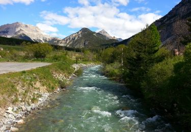
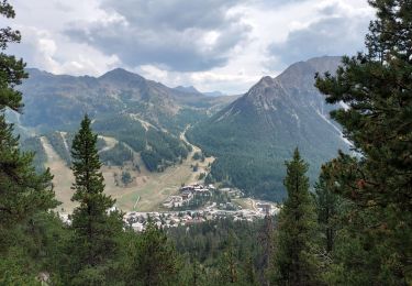
15.4 km | 32 km-effort
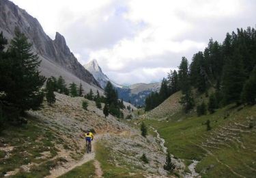
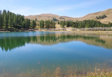
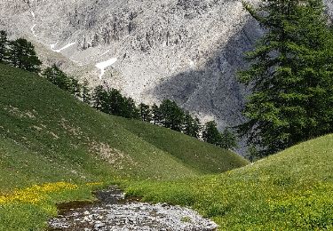
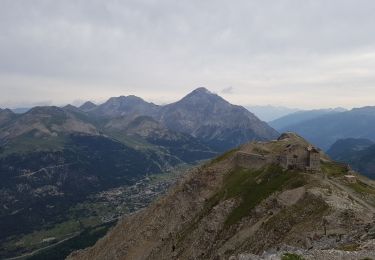
grand Meyret col d'Ornon en boucle
CABERMAT
User
Length
17 km
Max alt
2503 m
Uphill gradient
1086 m
Km-Effort
32 km
Min alt
1402 m
Downhill gradient
1095 m
Boucle
No
Creation date :
2024-02-13 07:58:13.187
Updated on :
2024-02-13 15:21:30.91
7h21
Difficulty : Very easy
FREE GPS app for hiking
About
Trail Touring skiing of 17 km to be discovered at Provence-Alpes-Côte d'Azur, Hautes-Alpes, Val-des-Prés. This trail is proposed by CABERMAT.
Positioning
Country:
France
Region :
Provence-Alpes-Côte d'Azur
Department/Province :
Hautes-Alpes
Municipality :
Val-des-Prés
Location:
Unknown
Start:(Dec)
Start:(UTM)
316766 ; 4980909 (32T) N.
Comments
Trails nearby
Le Chaberton
Walking
Difficult
(2)
Montgenèvre,
Provence-Alpes-Côte d'Azur,
Hautes-Alpes,
France
6h 15min
Yes
Montgenèvre et col de la Lauze
Mountain bike
Very difficult
(1)
Val-des-Prés,
Provence-Alpes-Côte d'Azur,
Hautes-Alpes,
France
38 km | 57 km-effort
3h 30min
Yes
Montgenevre Replat du Gondran 240830
Walking
Easy
Montgenèvre,
Provence-Alpes-Côte d'Azur,
Hautes-Alpes,
France
9.1 km | 14 km-effort
3h 10min
No
le mont Chaberton
Walking
Medium
(1)
Montgenèvre,
Provence-Alpes-Côte d'Azur,
Hautes-Alpes,
France
16.4 km | 33 km-effort
8h 48min
Yes
Les crêtes du Chalvet
Walking
Medium
Montgenèvre,
Provence-Alpes-Côte d'Azur,
Hautes-Alpes,
France
12 km | 23 km-effort
6h 3min
Yes
le sommet de Château Jouan et le fort de Janus
Walking
Difficult
Montgenèvre,
Provence-Alpes-Côte d'Azur,
Hautes-Alpes,
France
13.8 km | 24 km-effort
4h 15min
Yes
Plampinet Clarée amont
Walking
Easy
(1)
Névache,
Provence-Alpes-Côte d'Azur,
Hautes-Alpes,
France
6.2 km | 7.7 km-effort
1h 27min
Yes
tour de montgenevre
Mountain bike
Very difficult
(1)
Montgenèvre,
Provence-Alpes-Côte d'Azur,
Hautes-Alpes,
France
32 km | 50 km-effort
3h 15min
Yes
Montgenèvre Rocher Diseur 240830
Walking
Easy
Montgenèvre,
Provence-Alpes-Côte d'Azur,
Hautes-Alpes,
France
4.7 km | 6.7 km-effort
2h 46min
Yes