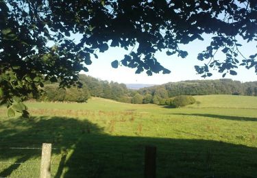
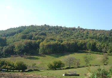
Trail Walking Saint-Gilles-les-Forêts - mont gargan - Photo
© OpenStreetMap contributors
Length
Length
1.7 km
Max alt
Max alt
729 m
Uphill gradient
Uphill gradient
48 m
Km-Effort
Km-Effort  
2.3 km
Min alt
Min alt
692 m
Downhill gradient
Downhill gradient
49 m
Boucle
Boucle
Yes
Creation date :
2024-02-13 09:29:41.368
Updated on :
2024-04-10 09:13:53.818

(0 Reviews)

Walking
Walking
32m
Difficulty : Easy

Scan this QR Code to open this trail in the SityTrail application

FREE GPS app for hiking

Logo SityTrail SityTrail

IGN / Geographical institutes

Download SityTrail from the App Store Download SityTrail from Google Play

Logo SityTrail SityTrail World

The world is yours!

Download SityTrail from the App Store Download SityTrail from Google Play Download SityTrail on Huawei AppGallery

About

Trail Walking of 1.7 km to be discovered at New Aquitaine, Haute-Vienne, Saint-Gilles-les-Forêts. This trail is proposed by charles103.

Elevation profile

Positioning

Country:
France
Region :
New Aquitaine
Department/Province :
Haute-Vienne
Municipality :
Saint-Gilles-les-Forêts
Location:
Unknown
Start:(UTM)
394722 ; 5052307 (31T) N.

Trails nearby

Trail Walking Chamberet - Puy Saumon - Chamberet - Photo
Walking
tracegps

Walking

Medium
(1)
Chamberet, New Aquitaine, Corrèze, France
11.2 km | 15.7 km-effort
2h 30min
Yes
Trail Equestrian La Croisille-sur-Briance - Circuit le tour du mont Gargan - La Croisille sur Briance - Photo
Equestrian
tracegps

Equestrian

Difficult
La Croisille-sur-Briance, New Aquitaine, Haute-Vienne, France
21 km | 28 km-effort
3h 0min
Yes
Trail Mountain bike La Croisille-sur-Briance - Circuit le tour du mont Gargan - La Croisille sur Briance - Photo
Mountain bike
tracegps

Mountain bike

Difficult
La Croisille-sur-Briance, New Aquitaine, Haute-Vienne, France
21 km | 28 km-effort
2h 0min
Yes
Trail Walking La Croisille-sur-Briance - Circuit le tour du mont Gargan - La Croisille sur Briance - Photo
Walking
tracegps

Walking

Difficult
La Croisille-sur-Briance, New Aquitaine, Haute-Vienne, France
21 km | 28 km-effort
5h 30min
Yes
Trail Walking Chamberet - Chamberet  - Photo
Walking
laurent45

Walking

Difficult
Chamberet, New Aquitaine, Corrèze, France
12.8 km | 17.6 km-effort
5h 7min
Yes
Trail Walking Chamberet - Chamberet- Saint-Dulcet - Photo
Walking
houbart

Walking

Easy
Chamberet, New Aquitaine, Corrèze, France
8.7 km | 11 km-effort
2h 22min
Yes
Trail Walking La Croisille-sur-Briance - Mont Gargant  - Photo
Walking
laurent45

Walking

Difficult
La Croisille-sur-Briance, New Aquitaine, Haute-Vienne, France
23 km | 31 km-effort
7h 0min
Yes
Trail Walking Saint-Gilles-les-Forêts - Le parcours ne presente pas de difficulté particuliere saul la deriere montée au MontGargan. Le Parcour est ombragé; Vous decouvrirez de nombreux panoramas.Cette randonnée est praticable en familleBonne promenadedurée 3H30mn dénivelé 470 m distance 13 km - Photo
Walking
Titou87123

Walking

Very easy
(2)
Saint-Gilles-les-Forêts, New Aquitaine, Haute-Vienne, France
12.4 km | 16.4 km-effort
3h 30min
Yes
Trail Walking Saint-Gilles-les-Forêts - mont Gargand sentier découverte - Photo
Walking
jeanjean37

Walking

Very easy
Saint-Gilles-les-Forêts, New Aquitaine, Haute-Vienne, France
2.9 km | 4.4 km-effort
1h 11min
Yes


Close
My subscriptions