


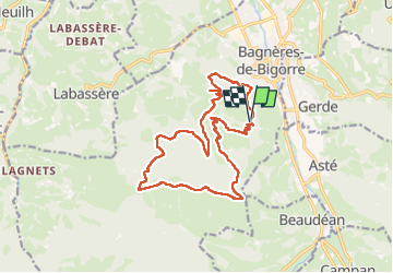

8.8 km | 12.9 km-effort


User


FREE GPS app for hiking
 SityTrail
IGN / Geographical institutes
SityTrail World
The world is yours!
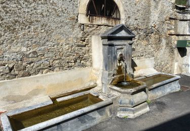
Trail Walking of 18.1 km to be discovered at Occitania, Hautespyrenees, Bagnères-de-Bigorre. This trail is proposed by OUSSET.
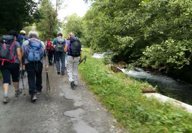
Walking

Walking

Walking
Walking
Walking

Road bike
Mountain bike

Walking

Walking
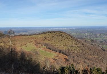
Très belle rando, supers sentiers mise à part la longue route forestière sans grand internet (goudronnée) On doit pouvoir l'éviter en prenant la variante par le Côt de Ger (au lieu de la pointe de Fer)