


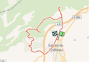


7.8 km | 9.4 km-effort


User


FREE GPS app for hiking
 SityTrail
IGN / Geographical institutes
SityTrail World
The world is yours!
Trail Walking of 10.7 km to be discovered at Occitania, Pyrénées-Orientales, Salses-le-Château. This trail is proposed by Santblasi.
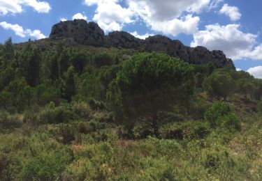
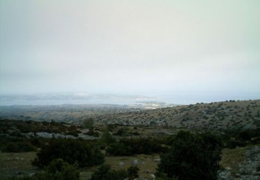
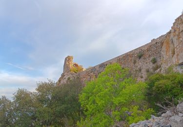
Départ cave, direction autoroute, aller droit jusqu'à ligne électrique, grimper mamelon 1er point de vue.
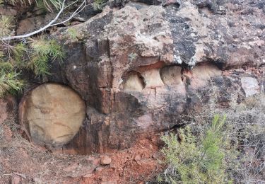
retour au croisement et suivre les panneaux directionnels. Orris abîmés.
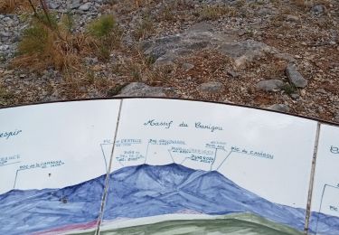
2ème point de vue via le raidillon en avançant le long du grillage. retour et continuer.
Pinéde brûlée, arbres couchés.
belle randonnée.
Walking
Mountain bike
Walking
Walking
Walking
Walking
Walking
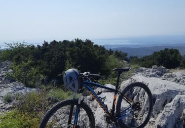
Mountain bike
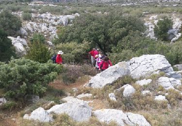
Walking