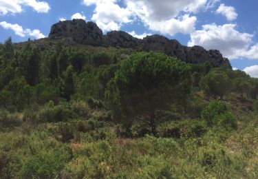
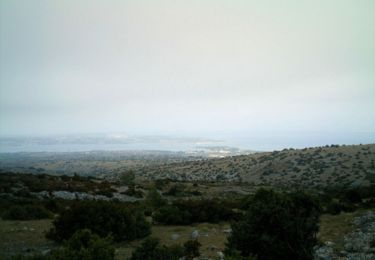
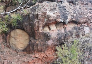
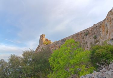
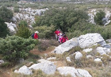
Trail Walking Salses-le-Château - Salses-le-Château, Cami des orris. - Photo

Salses-le-Château, Cami des orris.

© OpenStreetMap contributors
Length
Length
10.7 km
Max alt
Max alt
127 m
Uphill gradient
Uphill gradient
192 m
Km-Effort
Km-Effort  
13.3 km
Min alt
Min alt
8 m
Downhill gradient
Downhill gradient
192 m
Boucle
Boucle
Yes
Creation date :
2024-02-11 08:39:59.923
Updated on :
2024-02-11 16:58:18.815

(1 Reviews)

Walking
Walking
4h00
Difficulty : Easy

Scan this QR Code to open this trail in the SityTrail application

FREE GPS app for hiking

Logo SityTrail SityTrail

IGN / Geographical institutes

Download SityTrail from the App Store Download SityTrail from Google Play

Logo SityTrail SityTrail World

The world is yours!

Download SityTrail from the App Store Download SityTrail from Google Play Download SityTrail on Huawei AppGallery

About

Trail Walking of 10.7 km to be discovered at Occitania, Pyrénées-Orientales, Salses-le-Château. This trail is proposed by Santblasi.

Description

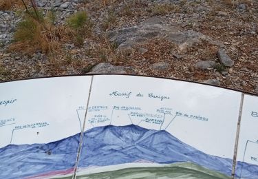
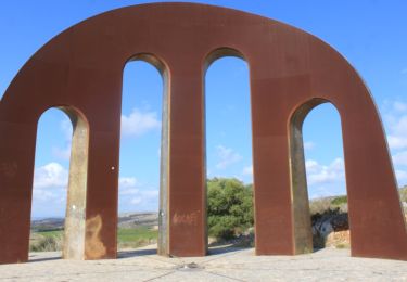
Départ cave, direction autoroute, aller droit jusqu'à ligne électrique, grimper mamelon 1er point de vue.
retour au croisement et suivre les panneaux directionnels. Orris abîmés.
2ème point de vue via le raidillon en avançant le long du grillage. retour et continuer.
Pinéde brûlée, arbres couchés.
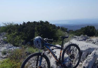
belle randonnée.

Elevation profile

Positioning

Country:
France
Region :
Occitania
Department/Province :
Pyrénées-Orientales
Municipality :
Salses-le-Château
Location:
Unknown
Start:(UTM)
493450 ; 4742769 (31T) N.

Comments

Please log in to post a review or rate the element


Trails nearby

Trail Walking Salses-le-Château - 66 SALSES-LE-CHATEAU - Cami dels Orris - boucle dans les. Contreforts des Corbières  - Photo
Walking
jeff66

Walking

Medium
(3)
Salses-le-Château, Occitania, Pyrénées-Orientales, France
7.8 km | 9.4 km-effort
1h 17min
Yes
Trail Mountain bike Salses-le-Château - Au dessus de Salses le Château - Photo
Mountain bike
tracegps

Mountain bike

Medium
(1)
Salses-le-Château, Occitania, Pyrénées-Orientales, France
22 km | 28 km-effort
2h 0min
No
Trail Walking Opoul-Périllos - Opoul Perillos  - Photo
Walking
GUIDE
Ada11

Walking

Medium
Opoul-Périllos, Occitania, Pyrénées-Orientales, France
17.3 km | 23 km-effort
4h 29min
Yes
Trail Walking Opoul-Périllos - cauna roja . perillos . château d´opoul  - Photo
Walking
GUIDE
stef789

Walking

Easy
Opoul-Périllos, Occitania, Pyrénées-Orientales, France
11.1 km | 14.8 km-effort
4h 44min
Yes
Trail Walking Opoul-Périllos - Opoul le château et le village. - Photo
Walking
MichelRando7656

Walking

Medium
Opoul-Périllos, Occitania, Pyrénées-Orientales, France
6.2 km | 8 km-effort
2h 53min
No
Trail Walking Salses-le-Château - Salses le château porte de la catalogne - Photo
Walking
suresnois

Walking

Very difficult
Salses-le-Château, Occitania, Pyrénées-Orientales, France
17.3 km | 21 km-effort
5h 52min
Yes
Trail Walking Opoul-Périllos - Opoul.le château. Les grottes  - Photo
Walking
ThonyM

Walking

Medium
Opoul-Périllos, Occitania, Pyrénées-Orientales, France
15.5 km | 20 km-effort
5h 20min
Yes
Trail Mountain bike Opoul-Périllos - mont perillou  707 m - Photo
Mountain bike
babouille

Mountain bike

Very easy
Opoul-Périllos, Occitania, Pyrénées-Orientales, France
34 km | 45 km-effort
3h 30min
Yes
Trail Walking Opoul-Périllos - Opouls Perillos - Photo
Walking
MarieFrancoise

Walking

Easy
(1)
Opoul-Périllos, Occitania, Pyrénées-Orientales, France
13.1 km | 17.2 km-effort
5h 23min
Yes


Close
My subscriptions