


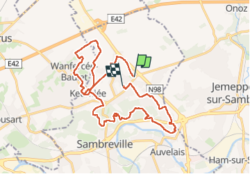

7.4 km | 8.9 km-effort


User


FREE GPS app for hiking
 SityTrail
IGN / Geographical institutes
SityTrail World
The world is yours!
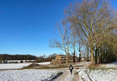
Trail Walking of 18.9 km to be discovered at Wallonia, Namur, Sambreville. This trail is proposed by jeangulu.
Point de départ : Salle " Michel Warnon "Rue Hurlevent, 1- 5060 -VELAINE-SUR-SAMBRE.
Organisateur : LES KANGOUROUS DE FALISOLLE NA 035
---- 32è Marche de la Chandeleur.
---- Challenge des Présidentes.
Entité : VELAINE-SUR-SAMBRE
Carte IGN : 47/5.
Remarque : Parcours très boueux
Walking
Walking
Walking
Walking
On foot
Walking

Mountain bike
Walking
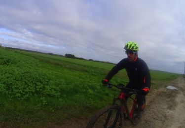
Mountain bike