


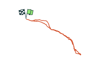

12.2 km | 25 km-effort


User


FREE GPS app for hiking
 SityTrail
IGN / Geographical institutes
SityTrail World
The world is yours!
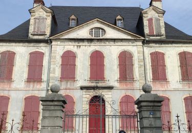
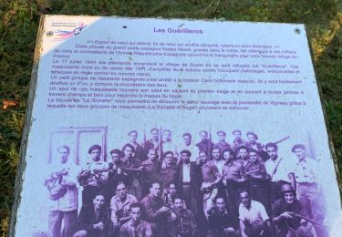
Trail Walking of 7.8 km to be discovered at New Aquitaine, Pyrénées-Atlantiques, Castet. This trail is proposed by yvesdelafforest.
Randonnée en aller retour à la cabane de Couscouilla. Plus d'infos et de photos sur: <https://www.o2rando.com/cabane-de-couscouilla-1370m-1>

Walking

Walking

On foot

On foot

On foot

On foot

On foot
Walking
Walking