27 km | 39 km-effort
Le Roure Le Roujanel
lecamisard
User
Length
16.4 km
Max alt
983 m
Uphill gradient
511 m
Km-Effort
23 km
Min alt
610 m
Downhill gradient
510 m
Boucle
Yes
Creation date :
2024-02-08 20:50:18.926
Updated on :
2024-08-15 15:51:28.908
5h16
Difficulty : Very difficult
FREE GPS app for hiking
About
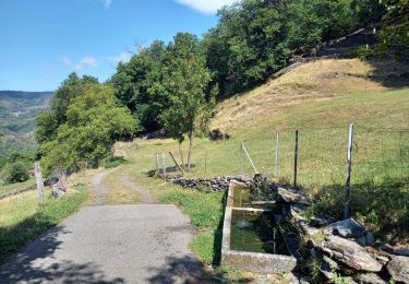
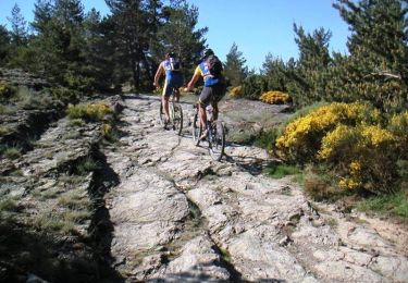
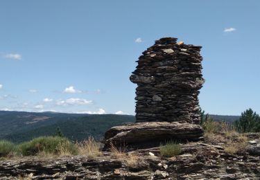
Trail Walking of 16.4 km to be discovered at Occitania, Lozère, Prévenchères. This trail is proposed by lecamisard.
Positioning
Country:
France
Region :
Occitania
Department/Province :
Lozère
Municipality :
Prévenchères
Location:
Unknown
Start:(Dec)
Start:(UTM)
573721 ; 4931160 (31T) N.
Comments
Trails nearby
GRP Tour du Chassezac en 2 jours
Walking
Difficult
Prévenchères,
Occitania,
Lozère,
France
8h 32min
No
Laval d'aurelle Ubac
Walking
Medium
Saint-Laurent-les-Bains-Laval-d'Aurelle,
Auvergne-Rhône-Alpes,
Ardèche,
France
7.6 km | 12.1 km-effort
2h 27min
Yes
Régordane 4 - Albespeyre-Génolhac
Walking
Difficult
Prévenchères,
Occitania,
Lozère,
France
24 km | 32 km-effort
7h 43min
No
La Bastide Puylaurent - La Fage
Mountain bike
Very difficult
La Bastide-Puylaurent,
Occitania,
Lozère,
France
74 km | 106 km-effort
5h 0min
No
Fustugeres
Walking
Difficult
(1)
Prévenchères,
Occitania,
Lozère,
France
11.8 km | 16.3 km-effort
5h 1min
Yes
Prévenchère- Génolhac
Walking
Medium
Prévenchères,
Occitania,
Lozère,
France
28 km | 38 km-effort
6h 39min
No
Itinérance Cévennes J2
Walking
Medium
Sainte-Marguerite-Lafigère,
Auvergne-Rhône-Alpes,
Ardèche,
France
13.4 km | 21 km-effort
4h 42min
No
ًًLes Baumes
Walking
Medium
Pied-de-Borne,
Occitania,
Lozère,
France
8.3 km | 12.4 km-effort
2h 16min
Yes
Masméjean Col du Thor
Walking
Very difficult
La Bastide-Puylaurent,
Occitania,
Lozère,
France
14.1 km | 20 km-effort
4h 38min
Yes