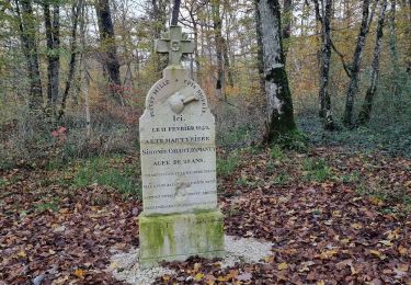
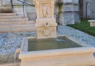
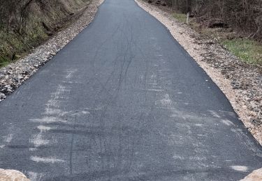
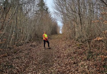
Trail Walking Vouthon-Haut - repérage bois de Greux  - Photo

repérage bois de Greux

  CDSM 55
CDSM 55

User

© OpenStreetMap contributors
Length
Length
11.4 km
Max alt
Max alt
412 m
Uphill gradient
Uphill gradient
232 m
Km-Effort
Km-Effort  
14.5 km
Min alt
Min alt
308 m
Downhill gradient
Downhill gradient
235 m
Boucle
Boucle
Yes
Creation date :
2024-02-08 13:59:21.984
Updated on :
2024-02-08 16:53:07.034

(1 Reviews)

Walking
Walking
2h19
Difficulty : Medium

Scan this QR Code to open this trail in the SityTrail application

FREE GPS app for hiking

Logo SityTrail SityTrail

IGN / Geographical institutes

Download SityTrail from the App Store Download SityTrail from Google Play

Logo SityTrail SityTrail World

The world is yours!

Download SityTrail from the App Store Download SityTrail from Google Play Download SityTrail on Huawei AppGallery

About

Trail Walking of 11.4 km to be discovered at Grand Est, Meuse, Vouthon-Haut. This trail is proposed by CDSM 55.

Elevation profile

Photos

Positioning

Country:
France
Region :
Grand Est
Department/Province :
Meuse
Municipality :
Vouthon-Haut
Location:
Unknown
Start:(UTM)
693505 ; 5372516 (31U) N.

Comments

Please log in to post a review or rate the element


de bien belles allées, mais après être passé près de la chapelle de Bermont le fond du val est un cul de sac avec un talus très difficile à pied et impossible à VTT


Trails nearby

Trail Walking Vouthon-Haut - En mémoire de Sidonie - Photo
Walking
CDSM 55

Walking

Medium
(1)
Vouthon-Haut, Grand Est, Meuse, France
7.7 km | 9.3 km-effort
1h 46min
No
Trail Walking Vouthon-Haut - Marche 8 Km Isa 2024 - Photo
Walking
CDSM 55

Walking

Medium
(1)
Vouthon-Haut, Grand Est, Meuse, France
8.2 km | 10.3 km-effort
2h 20min
Yes
Trail Walking Vouthon-Haut - sur les chemins d'Isabelle partiel les Roises  - Photo
Walking
CDSM 55

Walking

Medium
(1)
Vouthon-Haut, Grand Est, Meuse, France
8.4 km | 11 km-effort
1h 8min
Yes
Trail Walking Vouthon-Haut - reco site VTT - Photo
Walking
CDSM 55

Walking

Easy
(1)
Vouthon-Haut, Grand Est, Meuse, France
4 km | 5.4 km-effort
1h 20min
Yes
Trail Walking Vouthon-Haut - Vouthon-Haut  - Photo
Walking
CDSM 55

Walking

Very difficult
(1)
Vouthon-Haut, Grand Est, Meuse, France
16.7 km | 19.5 km-effort
2h 41min
No
Trail Walking Vouthon-Haut - marche 15 km Isa 2024 - Photo
Walking
CDSM 55

Walking

Difficult
(1)
Vouthon-Haut, Grand Est, Meuse, France
15.1 km | 18.1 km-effort
4h 7min
Yes
Trail Mountain bike Vouthon-Haut - Chemin d'Isabelle  partiel  - Photo
Mountain bike
CDSM 55

Mountain bike

Easy
(1)
Vouthon-Haut, Grand Est, Meuse, France
14.6 km | 17.4 km-effort
1h 8min
Yes
Trail Mountain bike Vouthon-Haut - Les Chemins d'Isabelle P2 - Photo
Mountain bike
CDSM 55

Mountain bike

Very difficult
(1)
Vouthon-Haut, Grand Est, Meuse, France
34 km | 42 km-effort
2h 54min
Yes
Trail Walking Vouthon-Haut - reco VTT Chemins d'Isabelle  - Photo
Walking
CDSM 55

Walking

Medium
(1)
Vouthon-Haut, Grand Est, Meuse, France
7.9 km | 10.9 km-effort
1h 17min
Yes


Close
My subscriptions