


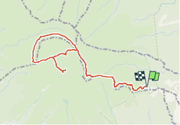


9.4 km | 14.9 km-effort

User GUIDE


FREE GPS app for hiking
 SityTrail
IGN / Geographical institutes
SityTrail World
The world is yours!
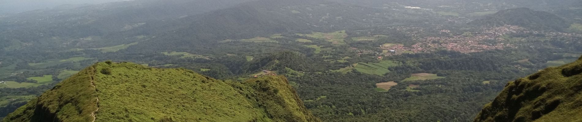
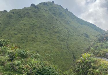
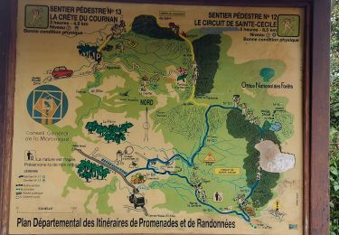
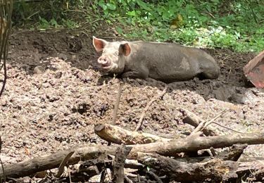
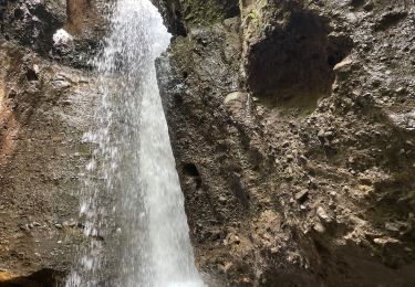
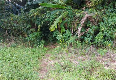
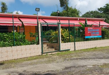
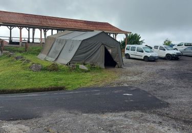
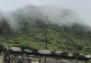
Trail Walking of 7.8 km to be discovered at Martinique, Unknown, L'Ajoupa-Bouillon. This trail is proposed by David25400.


42 photos in total. Please click on a photo to see them all in the gallery.

Walking
Walking
Walking

sport
sport
Walking
Walking
Walking
Walking