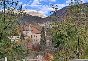
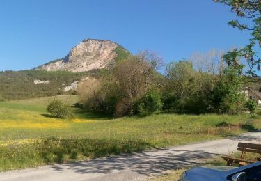
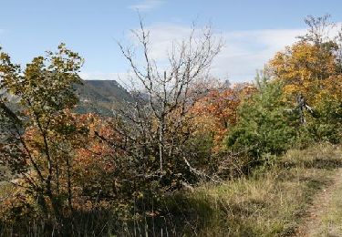
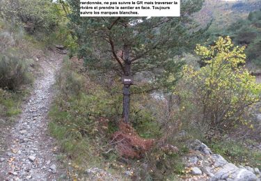
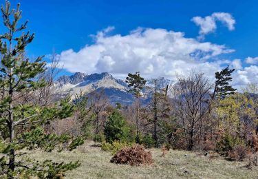
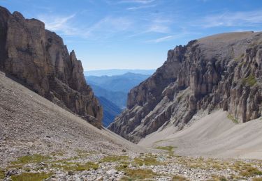
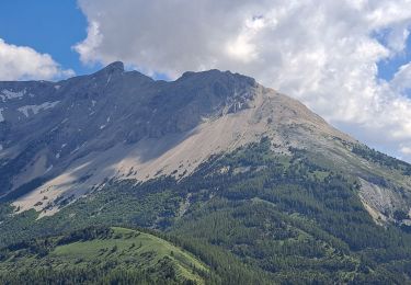
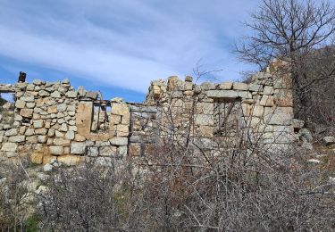
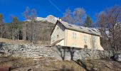
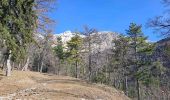
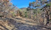
Trail Walking Montmaur - Les Sauvas - Photo
 Marco05
Marco05

User GUIDE

© OpenStreetMap contributors
Length
Length
12.9 km
Max alt
Max alt
1353 m
Uphill gradient
Uphill gradient
583 m
Km-Effort
Km-Effort  
21 km
Min alt
Min alt
909 m
Downhill gradient
Downhill gradient
585 m
Boucle
Boucle
Yes
Creation date :
2024-02-04 10:26:34.569
Updated on :
2024-02-06 16:30:43.582

(0 Reviews)

Walking
Walking
4h42
Difficulty : Medium

Scan this QR Code to open this trail in the SityTrail application

FREE GPS app for hiking

Logo SityTrail SityTrail

IGN / Geographical institutes

Download SityTrail from the App Store Download SityTrail from Google Play

Logo SityTrail SityTrail World

The world is yours!

Download SityTrail from the App Store Download SityTrail from Google Play Download SityTrail on Huawei AppGallery

About

Trail Walking of 12.9 km to be discovered at Provence-Alpes-Côte d'Azur, Hautes-Alpes, Montmaur. This trail is proposed by Marco05.

Description

Le départ se fait du cimetière de Montmaur.
Le chemin est 100m plus loin sur la gauche.
Pas de difficulté technique, juste un petit dénivelé de 583m.
La dernière partie de la montée se fait sur une piste très large.
Au gîte des Sauvas on peut casser la croute sur les tables installées.

Elevation profile

Photos

Positioning

Country:
France
Region :
Provence-Alpes-Côte d'Azur
Department/Province :
Hautes-Alpes
Municipality :
Montmaur
Location:
Unknown
Start:(UTM)
728663 ; 4939112 (31T) N.

Trails nearby

Trail Walking Montmaur - Montmaur Le Terrail - Photo
Walking
GUIDE
Marco05

Walking

Easy
(1)
Montmaur, Provence-Alpes-Côte d'Azur, Hautes-Alpes, France
5.3 km | 6.2 km-effort
1h 22min
Yes
Trail Walking Veynes - Charajaille - Photo
Walking
GUIDE
Marco05

Walking

Difficult
(1)
Veynes, Provence-Alpes-Côte d'Azur, Hautes-Alpes, France
8.1 km | 16.2 km-effort
3h 41min
Yes
Trail Walking Veynes - R06   glaise - Photo
Walking
GUIDE+

Walking

Easy
(1)
Veynes, Provence-Alpes-Côte d'Azur, Hautes-Alpes, France
9.1 km | 14.9 km-effort
3h 4min
Yes
Trail Walking Veynes - R03  oule depuis veynes - Photo
Walking
GUIDE+

Walking

Difficult
(4)
Veynes, Provence-Alpes-Côte d'Azur, Hautes-Alpes, France
7.1 km | 17.2 km-effort
3h 24min
Yes
Trail Walking Veynes - Champérus-Oriol - Photo
Walking
GUIDE
Marco05

Walking

Difficult
Veynes, Provence-Alpes-Côte d'Azur, Hautes-Alpes, France
8 km | 16.6 km-effort
3h 45min
No
Trail Walking Montmaur - Pic de Bure par combe d'Aurouze - Photo
Walking
GUIDE
Marco05

Walking

Very difficult
Montmaur, Provence-Alpes-Côte d'Azur, Hautes-Alpes, France
14.1 km | 33 km-effort
7h 24min
Yes
Trail Walking La Roche-des-Arnauds - Pic Chauve - Photo
Walking
GUIDE
Marco05

Walking

Difficult
La Roche-des-Arnauds, Provence-Alpes-Côte d'Azur, Hautes-Alpes, France
9.6 km | 21 km-effort
4h 42min
Yes
Trail Walking Montmaur - Col de Conode - Photo
Walking
GUIDE
Marco05

Walking

Medium
Montmaur, Provence-Alpes-Côte d'Azur, Hautes-Alpes, France
14.2 km | 22 km-effort
4h 58min
Yes
Trail Walking Veynes - Col de Combe noire-Veynes - Photo
Walking
GUIDE
Marco05

Walking

Medium
Veynes, Provence-Alpes-Côte d'Azur, Hautes-Alpes, France
9.7 km | 17.6 km-effort
4h 0min
Yes


Close
My subscriptions