14.4 km | 25 km-effort
sf10_e11b
My Switzerland
Optez pour le retour à la nature GUIDE+
Length
14.2 km
Max alt
2051 m
Uphill gradient
1171 m
Km-Effort
30 km
Min alt
753 m
Downhill gradient
1328 m
Boucle
No
Creation date :
2014-12-10 00:00:00.0
Updated on :
2014-12-10 00:00:00.0
6h36
Difficulty : Unknown
FREE GPS app for hiking
About
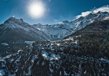
Trail Walking of 14.2 km to be discovered at Valais/Wallis, Visp, Törbel. This trail is proposed by My Switzerland.
Positioning
Country:
Switzerland
Region :
Valais/Wallis
Department/Province :
Visp
Municipality :
Törbel
Location:
Unknown
Start:(Dec)
Start:(UTM)
409761 ; 5122657 (32T) N.
Comments
Trails nearby
Circuit Zeneggen - Toerbel - chemin panoramique 05.2019
Walking
Difficult
Zeneggen,
Valais/Wallis,
Visp,
Switzerland
10.7 km | 16.9 km-effort
3h 29min
Yes
text_eve2
Other activity
Very easy
Visp,
Valais/Wallis,
Visp,
Switzerland
10.9 km | 20 km-effort
5h 20min
No
st_ral_08_6
Walking
Very easy
Visp,
Valais/Wallis,
Visp,
Switzerland
33 km | 61 km-effort
8h 19min
No
Tour du Mont Rose - Jour 1 - Grächen - Saas Fee
Walking
Medium
Grächen,
Valais/Wallis,
Visp,
Switzerland
18.2 km | 30 km-effort
5h 25min
No
YHH072 Grächen - Wannehorn
Walking
Very easy
Grächen,
Valais/Wallis,
Visp,
Switzerland
11.1 km | 21 km-effort
6h 0min
No
Augstbordhorn [loop/boucle/Rundwand.]
Other activity
Very easy
Törbel,
Valais/Wallis,
Visp,
Switzerland
11.6 km | 24 km-effort
Unknown
Yes
J6 Chemib d'altitude Gsponer Höhenweg
Walking
Very easy
(1)
Stalden (VS),
Valais/Wallis,
Visp,
Switzerland
17.2 km | 38 km-effort
8h 6min
No