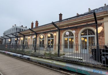
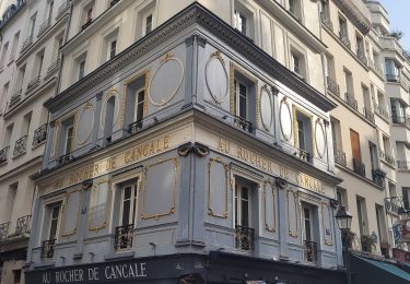
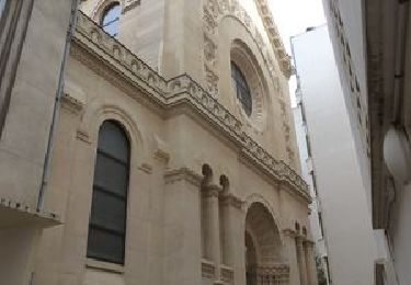
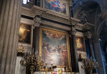
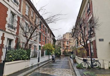
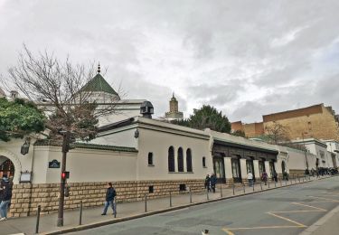
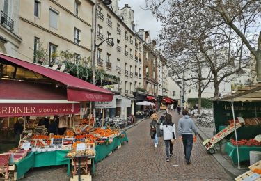
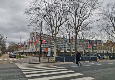
Trail Walking Paris - Paris-Longpont E.N.D. + Ginette 4 - Photo

Paris-Longpont E.N.D. + Ginette 4

 Emile52
Emile52

User

© OpenStreetMap contributors
Length
Length
35 km
Max alt
Max alt
107 m
Uphill gradient
Uphill gradient
437 m
Km-Effort
Km-Effort  
41 km
Min alt
Min alt
32 m
Downhill gradient
Downhill gradient
395 m
Boucle
Boucle
No
Creation date :
2024-02-01 17:41:46.842
Updated on :
2024-02-01 17:45:35.349

(0 Reviews)

Walking
Walking
9h21
Difficulty : Very difficult

Scan this QR Code to open this trail in the SityTrail application

FREE GPS app for hiking

Logo SityTrail SityTrail

IGN / Geographical institutes

Download SityTrail from the App Store Download SityTrail from Google Play

Logo SityTrail SityTrail World

The world is yours!

Download SityTrail from the App Store Download SityTrail from Google Play Download SityTrail on Huawei AppGallery

About

Trail Walking of 35 km to be discovered at Ile-de-France, Paris, Paris. This trail is proposed by Emile52.

Description

Pèlerinage nocturne annuel des équipes Notre Dame à l'occasion de la Chandeleur (Samedi vers le 2 février) depuis 1947 prolongement vers le sanctuaire de Ste Geneviève : doute sur la continuité de la version 3 au niveau du franchissement de la voie ferrée entre rue des palefreniers et celle du président S. Allende !

Elevation profile

Points of interest

Point of interest Malakoff - etape 1 - Photo
Emile52
MALAKOFF 
Point of interest Sceaux - etape 2 - Photo
Emile52
SCEAUX 
Point of interest Massy - 3ème étape - Photo
Emile52
Point of interest Saulx-les-Chartreux - 4ème Etape - Photo
Emile52
SAULX-LES-CHARTREUX 
Point of interest Ballainvilliers - 5ème étape - Photo
Emile52
BALLAINVILLIERS 
Point of interest Longpont-sur-Orge - Arrivée - Photo
Emile52
LONGPONT-SUR-ORGE 
Point of interest Paris - Départ - Photo
Emile52
PARIS 

Positioning

Country:
France
Region :
Ile-de-France
Department/Province :
Paris
Municipality :
Paris
Location:
4th Arrondissement
Start:(UTM)
452240 ; 5411349 (31U) N.

Trails nearby

Trail Walking Paris - Rando à thème : Georges Brassens - Parcours complet - Photo
Walking
GUIDE
chessyca

Walking

Difficult
(1)
Paris, Ile-de-France, Paris, France
34 km | 39 km-effort
6h 49min
No
Trail Walking Paris - Balade Paris Mars - Street art 13 ème / Tours Novel / Mouffetard---> Montorgueil - Photo
Walking
GUIDE
chessyca

Walking

Very easy
(1)
Paris, Ile-de-France, Paris, France
18.4 km | 22 km-effort
6h 21min
No
Trail Walking Paris - Balade parisienne le 28 février - Photo
Walking
GUIDE
chessyca

Walking

Very easy
(1)
Paris, Ile-de-France, Paris, France
23 km | 27 km-effort
5h 39min
No
Trail Walking Paris - SityTrail - 008.2 - Paris - de place Blanche aux Halles - Photo
Walking
GUIDE
Rui Barbosa

Walking

Medium
(1)
Paris, Ile-de-France, Paris, France
9.5 km | 11.2 km-effort
2h 32min
No
Trail Walking Paris - PAH-02 - Photo
Walking
clalaur

Walking

Easy
(1)
Paris, Ile-de-France, Paris, France
3.2 km | 3.7 km-effort
50min
No
Trail Walking Paris - DP75-16 De Chevaleret à Tolbiac - Photo
Walking
clalaur

Walking

Easy
(1)
Paris, Ile-de-France, Paris, France
4.3 km | 5.1 km-effort
1h 8min
No
Trail Walking Paris - DP75-15 Du square Saint-Médard à Chevaleret - Photo
Walking
clalaur

Walking

Easy
(1)
Paris, Ile-de-France, Paris, France
3.3 km | 4 km-effort
54min
No
Trail Walking Paris - DP75-14 De Sèvres-Babylone au square Saint-Médard - Photo
Walking
clalaur

Walking

Easy
(1)
Paris, Ile-de-France, Paris, France
5 km | 5.8 km-effort
1h 18min
No
Trail Walking Paris - DP75-13 De Vaugirard à Sèvres-Babylone - Photo
Walking
clalaur

Walking

Easy
(1)
Paris, Ile-de-France, Paris, France
4.4 km | 5 km-effort
1h 8min
No


Close
My subscriptions