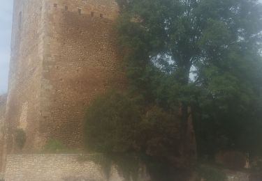
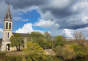
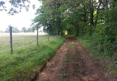
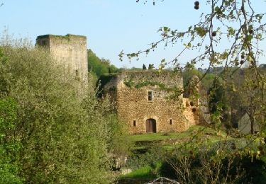
10.6 km | 14.1 km-effort
Couze 9km
amelie14
User
Length
9 km
Max alt
143 m
Uphill gradient
194 m
Km-Effort
11.5 km
Min alt
49 m
Downhill gradient
193 m
Boucle
Yes
Creation date :
2024-02-01 15:42:48.032
Updated on :
2024-02-01 16:57:04.102
52m
Difficulty : Medium
FREE GPS app for hiking
About
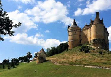
Trail Running of 9 km to be discovered at New Aquitaine, Dordogne, Couze-et-Saint-Front. This trail is proposed by amelie14.
Positioning
Country:
France
Region :
New Aquitaine
Department/Province :
Dordogne
Municipality :
Couze-et-Saint-Front
Location:
Unknown
Start:(Dec)
Start:(UTM)
318407 ; 4965848 (31T) N.
Comments
Trails nearby
Cause de Clérans
On foot
Medium
Cause-de-Clérans,
New Aquitaine,
Dordogne,
France
23 km | 28 km-effort
6h 28min
Yes
Boucle des coteaux
On foot
Easy
Lanquais,
New Aquitaine,
Dordogne,
France
6.4 km | 8.2 km-effort
1h 52min
Yes
Boucle des eaux
On foot
Easy
Lanquais,
New Aquitaine,
Dordogne,
France
10 km | 12.9 km-effort
2h 56min
No
Boucle de Saint-Front
On foot
Easy
Couze-et-Saint-Front,
New Aquitaine,
Dordogne,
France
8.2 km | 10.7 km-effort
2h 25min
Yes
Boucle de Pontour(modifiée)
Walking
Easy
Lalinde,
New Aquitaine,
Dordogne,
France
21 km | 28 km-effort
5h 37min
Yes
boucle bannes
Walking
Medium
Beaumontois en Périgord,
New Aquitaine,
Dordogne,
France
14.5 km | 19.2 km-effort
3h 12min
Yes
Autour de Cause-de-Clérans
Walking
Medium
(1)
Cause-de-Clérans,
New Aquitaine,
Dordogne,
France
14.3 km | 18.2 km-effort
3h 30min
Yes
Lalinde 15,9km
Walking
Medium
Couze-et-Saint-Front,
New Aquitaine,
Dordogne,
France
15.9 km | 20 km-effort
3h 7min
Yes