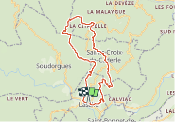
19.4 km | 30 km-effort
Lasalle
© OpenStreetMap contributors
Walking
6h06
Difficulty : Difficult
Length
18.8 km
Max alt
811 m
Uphill gradient
828 m
Km-Effort
30 km
Min alt
280 m
Downhill gradient
825 m
Boucle
No
Creation date :
2024-02-01 08:57:01.498
Updated on :
2024-02-01 15:05:14.072
6h06
Difficulty : Difficult
FREE GPS app for hiking
About
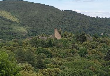
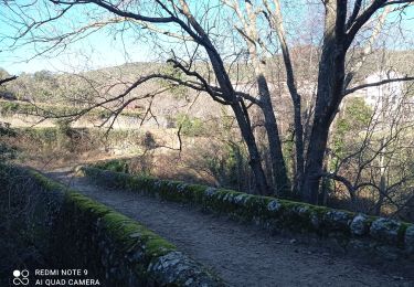
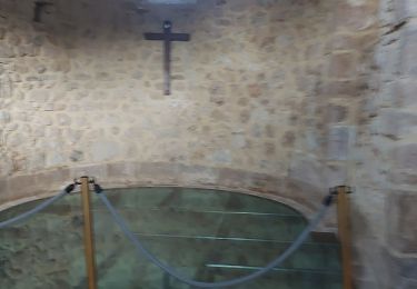
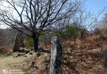
Trail Walking of 18.8 km to be discovered at Occitania, Gard, Lasalle. This trail is proposed by Jean-François Gizardin.
Description
Jf
Positioning
Country:
France
Region :
Occitania
Department/Province :
Gard
Municipality :
Lasalle
Location:
Unknown
Start:(Dec)
Start:(UTM)
568314 ; 4877334 (31T) N.
Comments
Trails nearby
LASALLE - SAINTE-CROIX-DE-CADERLE – CALVIAC - 8.3Km - 02h30 - Dénivelé 352 m
Walking
Difficult
(1)
Lasalle,
Occitania,
Gard,
France
12.8 km | 19.1 km-effort
3h 59min
Yes
30 du Cayrel au Camp Barrat 20/02/24
On foot
Medium
Colognac,
Occitania,
Gard,
France
16 km | 25 km-effort
5h 38min
Yes
vallée Salindrenque autour de Lasalle
Walking
Medium
Lasalle,
Occitania,
Gard,
France
13.3 km | 19.7 km-effort
5h 9min
Yes
Lasalle Briontet Soudorgues
Walking
Difficult
Lasalle,
Occitania,
Gard,
France
17.9 km | 29 km-effort
5h 32min
Yes
La Vallée Borgne
Walking
Difficult
Soudorgues,
Occitania,
Gard,
France
14.6 km | 22 km-effort
5h 30min
Yes