22 km | 27 km-effort
philippe480
User
Length
10.2 km
Max alt
902 m
Uphill gradient
322 m
Km-Effort
14.5 km
Min alt
652 m
Downhill gradient
322 m
Boucle
Yes
Creation date :
2024-02-01 14:39:01.029
Updated on :
2024-02-01 14:39:01.029
FREE GPS app for hiking
About
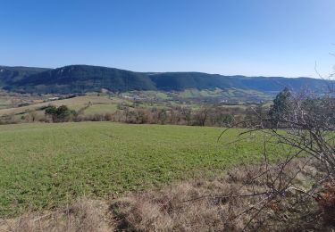
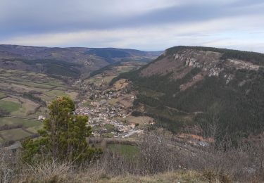
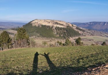
Trail of 10.2 km to be discovered at Occitania, Lozère, Chanac. This trail is proposed by philippe480.
Positioning
Country:
France
Region :
Occitania
Department/Province :
Lozère
Municipality :
Chanac
Location:
Chanac
Start:(Dec)
Start:(UTM)
527391 ; 4923599 (31T) N.
Comments
Trails nearby
Rando..Chanac..Causses de Sauveterre..16/05/2024
Walking
Difficult
Chanac,
Occitania,
Lozère,
France
4h 18min
Yes
le villard
Walking
Difficult
(1)
Chanac,
Occitania,
Lozère,
France
13.1 km | 18.2 km-effort
3h 44min
Yes
Rocherousse Marijoulet
Walking
Difficult
Esclanèdes,
Occitania,
Lozère,
France
10.5 km | 16.4 km-effort
2h 58min
Yes
esclanedes sauveterre le sec esclanedes
Mountain bike
Easy
Esclanèdes,
Occitania,
Lozère,
France
42 km | 53 km-effort
3h 11min
Yes
la roche /Veyrac/Vielbougue
Walking
Medium
Barjac,
Occitania,
Lozère,
France
11.5 km | 17 km-effort
3h 17min
Yes
Chemin de St Guilhem - Le Gazy - Sainte Enimie
Walking
Very difficult
Chanac,
Occitania,
Lozère,
France
21 km | 28 km-effort
5h 45min
No