


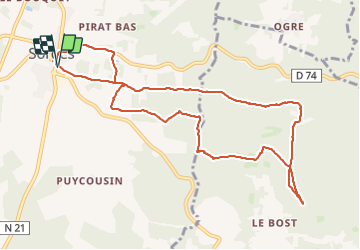

10.5 km | 13.4 km-effort


User


FREE GPS app for hiking
 SityTrail
IGN / Geographical institutes
SityTrail World
The world is yours!
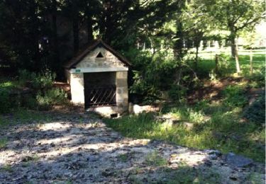
Trail Walking of 10.9 km to be discovered at New Aquitaine, Dordogne, Sorges et Ligueux en Périgord. This trail is proposed by YV24.
Tracé en partie non balisé. Agréable et assez ombragé en été.
A éviter après de fortes et nombreuses pluies, la partie base du circuit peut être partiellement inondée.


sport

Walking
Walking
Walking

Walking

Walking
Walking
Walking
Walking