12.8 km | 17 km-effort
circuits du cezera
martial15
User
Length
14.5 km
Max alt
1143 m
Uphill gradient
321 m
Km-Effort
18.8 km
Min alt
950 m
Downhill gradient
320 m
Boucle
Yes
Creation date :
2024-01-28 12:11:33.487
Updated on :
2024-01-28 16:47:10.035
4h17
Difficulty : Medium
4h17
Difficulty : Medium
FREE GPS app for hiking
About
Trail Walking of 14.5 km to be discovered at Auvergne-Rhône-Alpes, Cantal, Allanche. This trail is proposed by martial15.
Description
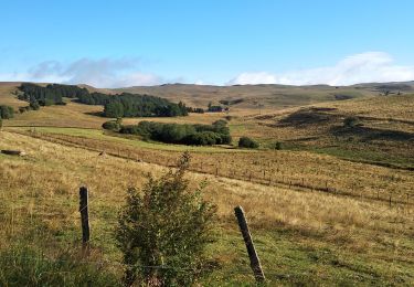
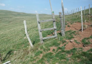
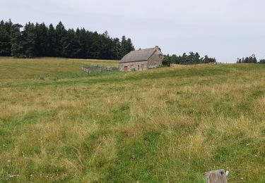
petite randonnée familiale avec de très beaux paysages très facile d'accès à éviter en poussette
Positioning
Country:
France
Region :
Auvergne-Rhône-Alpes
Department/Province :
Cantal
Municipality :
Allanche
Location:
Unknown
Start:(Dec)
Start:(UTM)
494801 ; 5008352 (31T) N.
Comments
Trails nearby
Allanche - Maillargues Puy de Mathonière - 12.8km 320m 4h00 - 2019 06 25
Walking
Easy
Allanche,
Auvergne-Rhône-Alpes,
Cantal,
France
4h 0min
Yes
Allanche-marcenat - TVR - jour 1
Walking
Medium
Allanche,
Auvergne-Rhône-Alpes,
Cantal,
France
24 km | 31 km-effort
6h 39min
No
La montagne de Courbières - Pradiers
Walking
Medium
Pradiers,
Auvergne-Rhône-Alpes,
Cantal,
France
15.9 km | 21 km-effort
5h 30min
Yes
balade autour d'Allanche
Walking
Easy
Allanche,
Auvergne-Rhône-Alpes,
Cantal,
France
6.6 km | 8.7 km-effort
1h 44min
Yes
rando Aiianchr reconnue 13 10 24
Nordic walking
Very easy
Allanche,
Auvergne-Rhône-Alpes,
Cantal,
France
15.8 km | 21 km-effort
6h 0min
Yes
lac du pêcher
Walking
Neussargues en Pinatelle,
Auvergne-Rhône-Alpes,
Cantal,
France
11.7 km | 14.4 km-effort
2h 58min
Yes
le Cezallier
Road bike
Medium
Allanche,
Auvergne-Rhône-Alpes,
Cantal,
France
74 km | 90 km-effort
3h 34min
No
Saint Flour
Mountain bike
Allanche,
Auvergne-Rhône-Alpes,
Cantal,
France
48 km | 0 m-effort
6h 23min
No
Lac du pêcher
Walking
Easy
Neussargues en Pinatelle,
Auvergne-Rhône-Alpes,
Cantal,
France
4.5 km | 5.4 km-effort
1h 48min
Yes