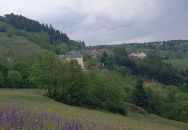
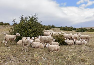
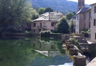
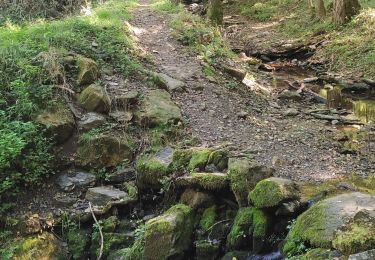
15.3 km | 24 km-effort
Tour de Lozère en gravel.
Franck2148
User
Length
490 km
Max alt
1553 m
Uphill gradient
11427 m
Km-Effort
642 km
Min alt
442 m
Downhill gradient
11430 m
Boucle
Yes
Creation date :
2024-01-28 13:53:33.876
Updated on :
2024-01-29 09:37:39.579
30h00
Difficulty : Very difficult
FREE GPS app for hiking
About
Trail Cycle of 490 km to be discovered at Occitania, Lozère, Florac Trois Rivières. This trail is proposed by Franck2148.
Description
Tour de Lozère en gravel traçé par mes soins.
Inspiré de la trace disponible sur le site de l'office de tourisme.
Positioning
Country:
France
Region :
Occitania
Department/Province :
Lozère
Municipality :
Florac Trois Rivières
Location:
Florac
Start:(Dec)
Start:(UTM)
547378 ; 4908031 (31T) N.
Comments
Trails nearby
Le Sentier des Couronnes - Florac
Walking
Difficult
(4)
Florac Trois Rivières,
Occitania,
Lozère,
France
5h 0min
Yes
Stevenson Bedouès Barre des Cévennes
Walking
Difficult
Bédouès-Cocurès,
Occitania,
Lozère,
France
20 km | 28 km-effort
6h 4min
No
Florac
On foot
Medium
Florac Trois Rivières,
Occitania,
Lozère,
France
15.5 km | 24 km-effort
5h 30min
Yes
Panoramique des couronnes
Walking
Difficult
Florac Trois Rivières,
Occitania,
Lozère,
France
14.9 km | 23 km-effort
5h 43min
Yes
Les Cévennes sentiers sympas
Walking
Medium
Florac Trois Rivières,
Occitania,
Lozère,
France
7.2 km | 11.6 km-effort
2h 43min
Yes
Etape 8 Florac/Cassagnas
Walking
Medium
Florac Trois Rivières,
Occitania,
Lozère,
France
20 km | 26 km-effort
5h 20min
No
14-05-2023 E9 Bédouès - Barre des Cévennes
Walking
Very difficult
Bédouès-Cocurès,
Occitania,
Lozère,
France
19.6 km | 27 km-effort
6h 11min
No
de Florac à St Enimie par le Causse de Sauveterre
Walking
Very difficult
Florac Trois Rivières,
Occitania,
Lozère,
France
27 km | 41 km-effort
9h 26min
No
Autour du MAZEL via CROUPILLAC
Walking
Medium
Cans et Cévennes,
Occitania,
Lozère,
France
4.2 km | 6.5 km-effort
1h 48min
Yes