


21 km | 26 km-effort

User


FREE GPS app for hiking
 SityTrail
IGN / Geographical institutes
SityTrail World
The world is yours!
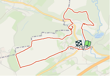
Trail Walking of 5.9 km to be discovered at Wallonia, Liège, Wanze. This trail is proposed by evelynevd.
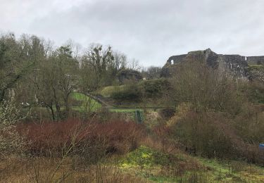
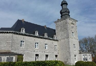
Huccorgne est une section de la commune de Wanze qui est une commune francophone de Belgique située en Région wallonne dans la province de Liège,
Wanze est situé dans la vallée de la Meuse en Hesbaye à proximité de Huy et une partie de son territoire est intégrée dans le Parc naturel des Vallées de la Burdinale et de la Mehaigne.
Nous avons laissé notre voiture sur le parking de l’école communale de Huccorgne, et avons démarré notre balade en nous dirigeant vers l’église Saint Jean Baptiste, qui fut bâtie en hauteur sur un éperon rocheux. Nous avons rapidement quitté le centre du village et avons rapidement atteint de vastes prairies ou les champs s’étendent à perte de vue et puis passage par quelques jolies rues du village de Huccorgne et par un sentier boisé pour atteindre la route principale et atteindre le bois brûlé. L’itinéraire nous a permis de longé le Moulin de Huccorgne avant de traverser un petit pont au-dessus de la Mehaigne afin de nous permettre de rejoindre le Ravel qui nous mènera gentiment vers notre point de départ.
Ps nous nous sommes un peu détourné du balisage ( balise losange rouge)
Informations pratiques
Départ et parking : 32 Route de l’Etat 4520 Wanze Possibilité de se garer à côté de la petite pleine de jeux ou sur le parking devant l école
Difficulté Facile
Balisage : losange rouge
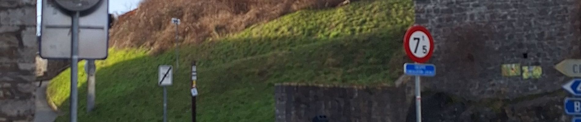
 Promenade des Vias - Photo 1")
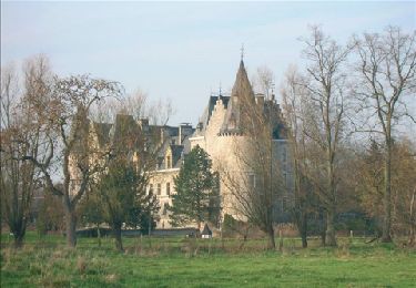
 Promenade des Vias - Photo 2")
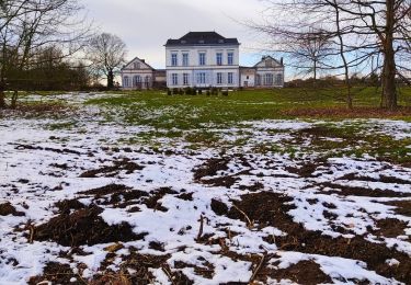
 Promenade des Vias - Photo 3")
 Promenade des Vias - Photo 4")
 Promenade des Vias - Photo 5")
 Promenade des Vias - Photo 6")
 Promenade des Vias - Photo 7")
 Promenade des Vias - Photo 8")
 Promenade des Vias - Photo 9")
 Promenade des Vias - Photo 10")
 Promenade des Vias - Photo 11")

Walking

Walking
Walking
Walking
Walking
Walking
Walking
Walking

Walking