Trail Walking Montpothier - MONTPOTHIER, LE VILLAGE ET LES ETANGS - Photo

MONTPOTHIER, LE VILLAGE ET LES ETANGS

© OpenStreetMap contributors
Length
Length
7.5 km
Max alt
Max alt
168 m
Uphill gradient
Uphill gradient
121 m
Km-Effort
Km-Effort  
9.1 km
Min alt
Min alt
117 m
Downhill gradient
Downhill gradient
119 m
Boucle
Boucle
Yes
Creation date :
2024-01-26 16:51:03.213
Updated on :
2024-03-05 08:02:23.289

(1 Reviews)

Walking
Walking
2h04
Difficulty : Medium

Scan this QR Code to open this trail in the SityTrail application

FREE GPS app for hiking

Logo SityTrail SityTrail

IGN / Geographical institutes

Download SityTrail from the App Store Download SityTrail from Google Play

Logo SityTrail SityTrail World
The world is yours!

Download SityTrail from the App Store Download SityTrail from Google Play Download SityTrail on Huawei AppGallery

About

Trail Walking of 7.5 km to be discovered at Grand Est, Aube, Montpothier. This trail is proposed by jeannine grandjean.

Description

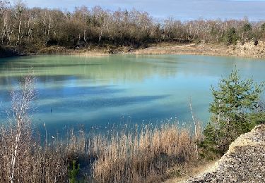
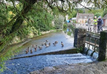
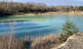
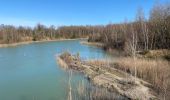
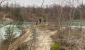
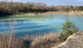
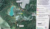
Au départ de la mairie, on rejoint le site des carrières d'argile anciennement exploitées, situé sur les territoires de Montpothier et de La Saulsotte, zone  classée ZNIEFF (zone naturelle d'intérêt écologique pour sa faune et sa flore)
Ce site est une mosaïque de zones humides variées, alternant avec des milieux ouverts dénudés et secs, ce qui crée cette diversité d’habitats pour une faune et une flore rares dans la région : amateurs d'orchidées, n'hésitez pas, vous y trouverez de nombreuses espèces
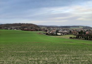
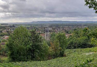
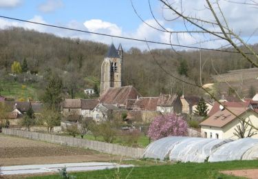
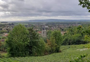
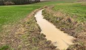
Pour terminer cette randonnée, traverser le village pour rejoindre les chemins à travers champs avec vue sur le village de Villenauxe

Elevation profile

Photos

Positioning

Country:
France
Region :
Grand Est
Department/Province :
Aube
Municipality :
Montpothier
Location:
Unknown
Start:(UTM)
538302 ; 5380032 (31U) N.

Comments

Please log in to post a review or rate the element


Trails nearby

Trail Walking Montpothier - MONTPOTHIER - Photo
Walking
jeannine grandjean

Walking

Medium
Montpothier, Grand Est, Aube, France
5.2 km | 6.2 km-effort
1h 24min
Yes
Trail Walking La Saulsotte - Rando Santé du 27 nov. - La Saulsotte - Photo
Walking
Olivier F.

Walking

Medium
La Saulsotte, Grand Est, Aube, France
5.1 km | 6.3 km-effort
1h 2min
Yes
Trail Walking Villenauxe-la-Grande - VILLENAUXE LA GRANDE, village et Val de Noxe - Photo
Walking
jeannine grandjean

Walking

Medium
Villenauxe-la-Grande, Grand Est, Aube, France
8.6 km | 10.6 km-effort
2h 24min
Yes
Trail Walking Villenauxe-la-Grande - Villenauxe 3 - Photo
Walking
jeannine grandjean

Walking

Easy
Villenauxe-la-Grande, Grand Est, Aube, France
4 km | 5 km-effort
1h 8min
Yes
Trail Walking Villenauxe-la-Grande - VILLENAUXE LA GRANDE 1 - Photo
Walking
jeannine grandjean

Walking

Difficult
Villenauxe-la-Grande, Grand Est, Aube, France
11.3 km | 14.4 km-effort
3h 10min
Yes
Trail Walking Villenauxe-la-Grande - Terroirs et vignes en Val de Noxe - Photo
Walking
Tournan

Walking

Medium
(1)
Villenauxe-la-Grande, Grand Est, Aube, France
18.4 km | 24 km-effort
5h 6min
Yes
Trail Walking Villenauxe-la-Grande - Val de Noxe - Villenauxe la Grande - Photo
Walking
tracegps

Walking

Medium
Villenauxe-la-Grande, Grand Est, Aube, France
33 km | 39 km-effort
6h 30min
Yes
Trail Walking Villenauxe-la-Grande - VILLENAUXE 2 le vignoble, les bois, la rivière Noxe, le village - Photo
Walking
jeannine grandjean

Walking

Medium
(1)
Villenauxe-la-Grande, Grand Est, Aube, France
7.8 km | 10.1 km-effort
2h 18min
Yes
Trail Walking Villenauxe-la-Grande - Villenauxe: ballade des ruelles - Photo
Walking
NANE51

Walking

Very easy
Villenauxe-la-Grande, Grand Est, Aube, France
3.2 km | 3.4 km-effort
58min
Yes


Close
My subscriptions