


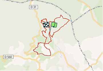


15.1 km | 20 km-effort

User GUIDE


FREE GPS app for hiking
 SityTrail
IGN / Geographical institutes
SityTrail World
The world is yours!
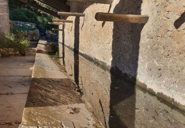
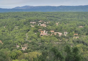
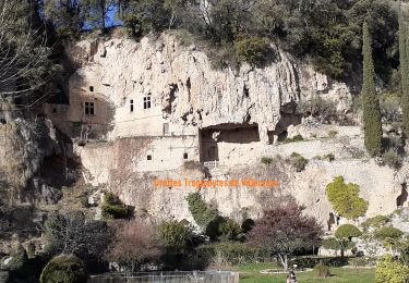
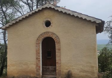
Trail Walking of 11.2 km to be discovered at Provence-Alpes-Côte d'Azur, Var, Salernes. This trail is proposed by Kargil.
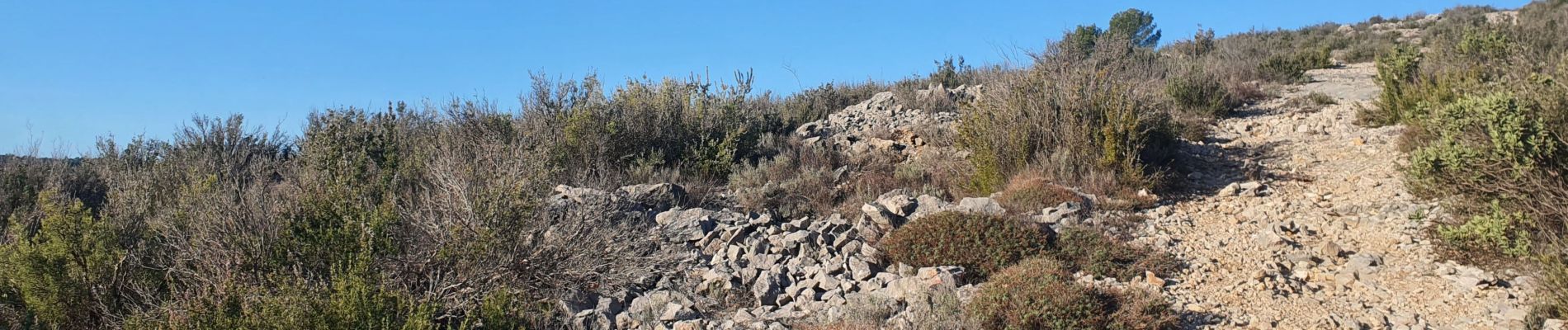
Lors de notre passage, l'échelle permettant d^'éviter le trou du loup n'était pas là. Donc passage par le trou obligatoire mais très sympa


Walking
Walking
Walking
Walking
Walking
Walking

Other activity

Mountain bike
Mountain bike