Trail  Unknown - Visite Palenque  - Photo

Visite Palenque

© OpenStreetMap contributors
Length
Length
10.9 km
Max alt
Max alt
154 m
Uphill gradient
Uphill gradient
203 m
Km-Effort
Km-Effort  
13.8 km
Min alt
Min alt
42 m
Downhill gradient
Downhill gradient
266 m
Boucle
Boucle
No
Creation date :
2024-01-22 17:18:28.0
Updated on :
2024-01-22 19:53:44.769

(0 Reviews)


Scan this QR Code to open this trail in the SityTrail application

FREE GPS app for hiking

Logo SityTrail SityTrail

IGN / Geographical institutes

Download SityTrail from the App Store Download SityTrail from Google Play

Logo SityTrail SityTrail World

The world is yours!

Download SityTrail from the App Store Download SityTrail from Google Play Download SityTrail on Huawei AppGallery

About

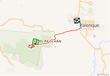
Trail of 10.9 km to be discovered at Chiapas, Palenque. This trail is proposed by 000764.b23b7f77ab0c432abdce2ef5ddb545cc.0059.

Elevation profile

Positioning

Country:
Mexico
Region :
Chiapas
Department/Province :
Palenque
Municipality :
Unknown
Location:
Unknown
Start:(UTM)
601311 ; 1933333 (15Q) N.

Trails nearby

Trail sport  - Palenque -Selva - Photo
sport
000764.b23b7f77ab0c432abdce2ef5ddb545cc.0059

sport

Very easy
, Chiapas, Palenque, Mexico
6.4 km | 8.7 km-effort
Unknown
Yes


Close
My subscriptions