22 km | 26 km-effort
Bethonvilliers 8,5 km
ODDAD78
User
Length
8.5 km
Max alt
257 m
Uphill gradient
129 m
Km-Effort
10.2 km
Min alt
217 m
Downhill gradient
128 m
Boucle
Yes
Creation date :
2024-01-19 08:09:37.173
Updated on :
2024-01-20 08:17:11.134
2h19
Difficulty : Medium
FREE GPS app for hiking
About
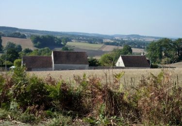
Trail Walking of 8.5 km to be discovered at Centre-Loire Valley, Eure-et-Loir, Béthonvilliers. This trail is proposed by ODDAD78.
Positioning
Country:
France
Region :
Centre-Loire Valley
Department/Province :
Eure-et-Loir
Municipality :
Béthonvilliers
Location:
Unknown
Start:(Dec)
Start:(UTM)
344745 ; 5343053 (31U) N.
Comments
Trails nearby
Les terres douces - Authon-du-Perche
Equestrian
Difficult
(1)
Authon-du-Perche,
Centre-Loire Valley,
Eure-et-Loir,
France
3h 30min
Yes
[Itinéraire] Les terres douces
Mountain bike
Medium
Authon-du-Perche,
Centre-Loire Valley,
Eure-et-Loir,
France
23 km | 26 km-effort
1h 49min
Yes
[Itinéraire] Saint-Lubin-des-Cinq-Fonts
Walking
Very difficult
Authon-du-Perche,
Centre-Loire Valley,
Eure-et-Loir,
France
15.8 km | 19.3 km-effort
4h 23min
Yes
Argenvilliers - L'étang des Panses 12 km
Walking
Difficult
Beaumont-les-Autels,
Centre-Loire Valley,
Eure-et-Loir,
France
12.2 km | 14.5 km-effort
3h 18min
Yes
20240601 ""xxxxx"
Walking
Difficult
Authon-du-Perche,
Centre-Loire Valley,
Eure-et-Loir,
France
15.6 km | 18.4 km-effort
4h 4min
Yes
Souancé-au-perche 8,9 km
Walking
Medium
Souancé-au-Perche,
Centre-Loire Valley,
Eure-et-Loir,
France
8.9 km | 11.1 km-effort
2h 30min
Yes
Authon-du-Perche et alentours 12 km
Walking
Difficult
Authon-du-Perche,
Centre-Loire Valley,
Eure-et-Loir,
France
11.6 km | 14.6 km-effort
3h 18min
Yes
Argenvilliers 14.54-16821485
Walking
Medium
Beaumont-les-Autels,
Centre-Loire Valley,
Eure-et-Loir,
France
14.5 km | 17.2 km-effort
Unknown
Yes
BEAUMONT LES AUTELS 13.55
Walking
Easy
Beaumont-les-Autels,
Centre-Loire Valley,
Eure-et-Loir,
France
13.5 km | 16.2 km-effort
3h 37min
Yes