


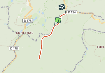

22 km | 29 km-effort


User


FREE GPS app for hiking
 SityTrail
IGN / Geographical institutes
SityTrail World
The world is yours!
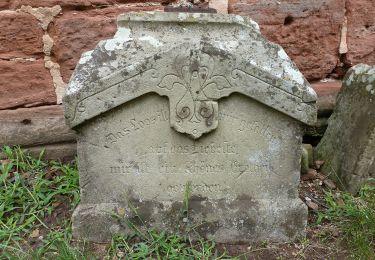
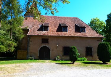
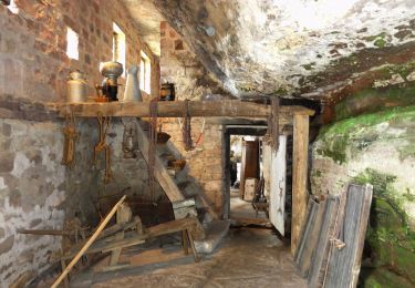
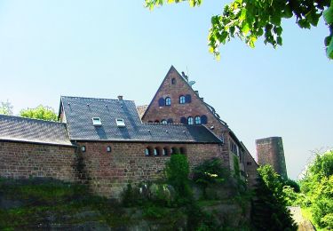
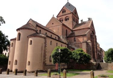
Trail Cross-country skiing of 4.3 km to be discovered at Grand Est, Bas-Rhin, Neuwiller-lès-Saverne. This trail is proposed by fredodlageo.
Sortie skis de fond Izzie
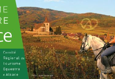
Horseback riding
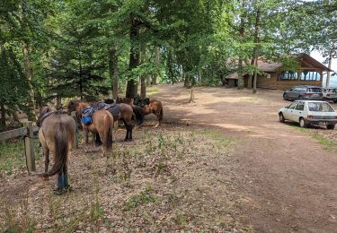
Horseback riding
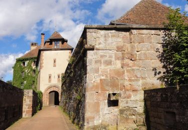
On foot
On foot
On foot
On foot
On foot
On foot
On foot