


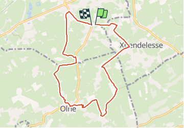

13.4 km | 17.5 km-effort

Par Mumu.larandonneuse


FREE GPS app for hiking
 SityTrail
IGN / Geographical institutes
SityTrail World
The world is yours!
Trail Walking of 8.7 km to be discovered at Wallonia, Liège, Soumagne. This trail is proposed by Je vous emmène sur mes chemins .
📍Soit Soumagne-Bas, soit Centre Sportif d'Olne
🥾 Routes, chemins et sentiers campagnards.
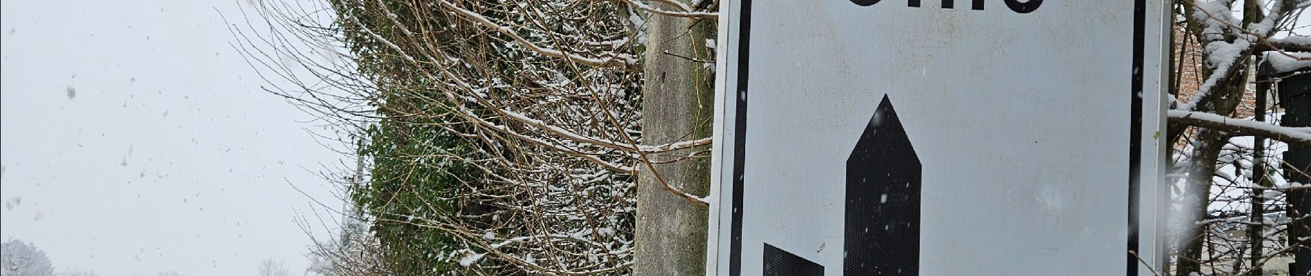
➡️ Balade sous la neige ⛄️❄️


Walking


Walking

Walking

Walking

Walking

Walking

Walking

Walking