6.7 km | 9.1 km-effort
Esplas , Eychenat , Brachy
Jean-Paul Raton
User
Length
4.8 km
Max alt
761 m
Uphill gradient
156 m
Km-Effort
6.9 km
Min alt
598 m
Downhill gradient
177 m
Boucle
Yes
Creation date :
2024-01-15 11:09:21.276
Updated on :
2024-01-15 11:17:12.268
1h34
Difficulty : Medium
FREE GPS app for hiking
About
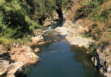
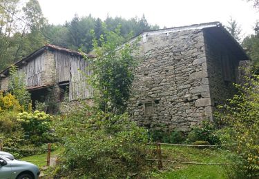
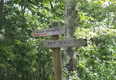
Trail Walking of 4.8 km to be discovered at Occitania, Ariège, Esplas-de-Sérou. This trail is proposed by Jean-Paul Raton.
Positioning
Country:
France
Region :
Occitania
Department/Province :
Ariège
Municipality :
Esplas-de-Sérou
Location:
Unknown
Start:(Dec)
Start:(UTM)
367739 ; 4759646 (31T) N.
Comments
Trails nearby
Le Planel depuis le Col des Marrous
Walking
Medium
(1)
Le Bosc,
Occitania,
Ariège,
France
2h 25min
Yes
Castelnau Durban à Niaux
Electric bike
Medium
Castelnau-Durban,
Occitania,
Ariège,
France
52 km | 63 km-effort
3h 8min
No
Le Cap du Carmil depuis le Col des Marrous
Walking
Difficult
Le Bosc,
Occitania,
Ariège,
France
14.6 km | 24 km-effort
6h 10min
Yes
Boucle Col des Marrous
Winter sports
Medium
(1)
Le Bosc,
Occitania,
Ariège,
France
8.5 km | 13 km-effort
1h 8min
Yes
Col d’Uscla -boucle vers col des Marrous
Walking
Medium
Montagagne,
Occitania,
Ariège,
France
5 km | 7.8 km-effort
1h 18min
Yes
Cap de Carmil
Walking
Very easy
Montagagne,
Occitania,
Ariège,
France
11.7 km | 18.9 km-effort
3h 59min
Yes
la bastide Nescus caussadou
Running
Medium
La Bastide-de-Sérou,
Occitania,
Ariège,
France
15 km | 23 km-effort
2h 0min
Yes
segalas la bouiche et retour
Mountain bike
Easy
La Bastide-de-Sérou,
Occitania,
Ariège,
France
36 km | 42 km-effort
2h 47min
No
Boucle des Balcons des Pyrénées - La Bastide-de-Sérou - Saurat
Equestrian
Very difficult
La Bastide-de-Sérou,
Occitania,
Ariège,
France
33 km | 58 km-effort
5h 0min
No