Trail Walking Flayosc - SityTrail - Flayosc Chapelle St Jean G4 Reconnue Fx - Photo

SityTrail - Flayosc Chapelle St Jean G4 Reconnue Fx

 felix83
felix83

User

© OpenStreetMap contributors
Length
Length
6.7 km
Max alt
Max alt
331 m
Uphill gradient
Uphill gradient
154 m
Km-Effort
Km-Effort  
8.8 km
Min alt
Min alt
219 m
Downhill gradient
Downhill gradient
156 m
Boucle
Boucle
Yes
Creation date :
2024-01-13 17:39:33.631
Updated on :
2024-01-13 17:43:13.755

(0 Reviews)

Walking
Walking
1h59
Difficulty : Medium

Scan this QR Code to open this trail in the SityTrail application

FREE GPS app for hiking

Logo SityTrail SityTrail

IGN / Geographical institutes

Download SityTrail from the App Store Download SityTrail from Google Play

Logo SityTrail SityTrail World

The world is yours!

Download SityTrail from the App Store Download SityTrail from Google Play Download SityTrail on Huawei AppGallery

About

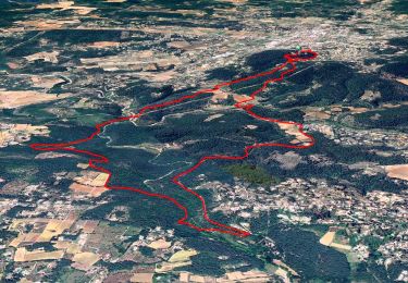
Trail Walking of 6.7 km to be discovered at Provence-Alpes-Côte d'Azur, Var, Flayosc. This trail is proposed by felix83.

Description

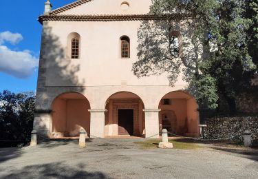
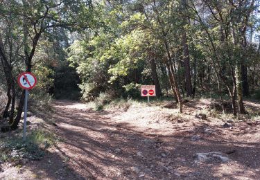
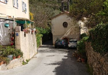
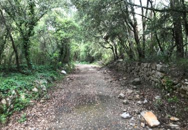
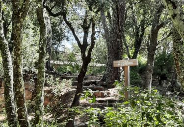
Petite randonnée agréable au sud de Flayosc. Elle commence par une montée et se termine par une montée. Attention sur le parcours nous marchons sur l'ancienne voie férrée du train des pignes et il y a 2 tunnels. Il est conseiller de prendre le chemin qui permet de passer au dessus des tunnels. La Chapelle St Jean est en contrebas de l'ancienne voie férrée à 250 m environ.

Elevation profile

Positioning

Country:
France
Region :
Provence-Alpes-Côte d'Azur
Department/Province :
Var
Municipality :
Flayosc
Location:
Unknown
Start:(UTM)
289834 ; 4823456 (32T) N.

Trails nearby

Trail Walking Flayosc - Flayosc - Photo
Walking
sagot

Walking

Easy
(4)
Flayosc, Provence-Alpes-Côte d'Azur, Var, France
8.3 km | 10.6 km-effort
2h 18min
Yes
Trail Walking Lorgues - SityTrail - Le hameau de Sauveclare - Photo
Walking
GUIDE
affinetataille

Walking

Easy
Lorgues, Provence-Alpes-Côte d'Azur, Var, France
14.2 km | 20 km-effort
6h 0min
Yes
Trail Walking Lorgues - Lorgues et l'Ermitage Saint-Ferréol - Photo
Walking
Chantheys

Walking

Medium
Lorgues, Provence-Alpes-Côte d'Azur, Var, France
5.5 km | 8 km-effort
1h 48min
Yes
Trail Walking Draguignan - Rebouillon le long de la Nartuby - Photo
Walking
geli.henri

Walking

Easy
Draguignan, Provence-Alpes-Côte d'Azur, Var, France
4.8 km | 5.9 km-effort
1h 33min
Yes
Trail Walking Châteaudouble - Rebouillon - Chapelle St Jean - Châteaudouble - Photo
Walking
LtZIP

Walking

Easy
Châteaudouble, Provence-Alpes-Côte d'Azur, Var, France
20 km | 28 km-effort
4h 56min
Yes
Trail Walking Flayosc - 20210922 Berne3 les Oussiayes - Photo
Walking
Sugg

Walking

Medium
Flayosc, Provence-Alpes-Côte d'Azur, Var, France
11.5 km | 14.8 km-effort
4h 39min
Yes
Trail Road bike Draguignan - la clape  - Photo
Road bike
carole5983

Road bike

Very easy
Draguignan, Provence-Alpes-Côte d'Azur, Var, France
16.7 km | 18.6 km-effort
1h 56min
Yes
Trail Walking Draguignan - Draguignan ancien Malmont 8 km  - Photo
Walking
GUIDE
rvapeldo

Walking

Medium
Draguignan, Provence-Alpes-Côte d'Azur, Var, France
7.9 km | 12.8 km-effort
3h 18min
Yes
Trail Walking Lorgues - Lorgues - sentier découverte Saint-Ferréol - Photo
Walking
Chantheys

Walking

Easy
Lorgues, Provence-Alpes-Côte d'Azur, Var, France
2.6 km | 3.8 km-effort
1h 3min
Yes


Close
My subscriptions