3.5 km | 4.8 km-effort
SityTrail - Loubressac Autoire
Gpoujade
User
Length
12.5 km
Max alt
387 m
Uphill gradient
456 m
Km-Effort
18.6 km
Min alt
170 m
Downhill gradient
459 m
Boucle
Yes
Creation date :
2024-01-13 14:39:57.818
Updated on :
2024-02-14 10:03:20.361
4h13
Difficulty : Difficult
FREE GPS app for hiking
About
Trail Walking of 12.5 km to be discovered at Occitania, Lot, Loubressac. This trail is proposed by Gpoujade.
Description
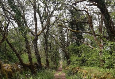
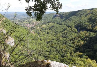
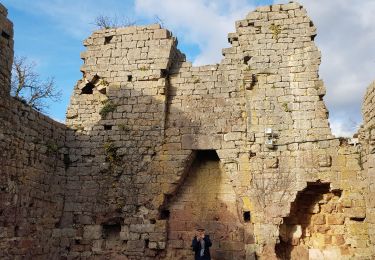
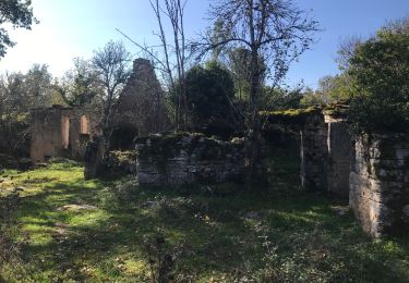
Grande randonnée de 3h30 minimum entre Autoire et Loubressac principalement par de petits sentiers.
Positioning
Country:
France
Region :
Occitania
Department/Province :
Lot
Municipality :
Loubressac
Location:
Unknown
Start:(Dec)
Start:(UTM)
405595 ; 4969401 (31T) N.
Comments
Trails nearby
Loubressac-Château des Anglais
Walking
Easy
Loubressac,
Occitania,
Lot,
France
8.6 km | 12.1 km-effort
2h 21min
Yes
St Jean Lespinasse - La Césarine
On foot
Easy
Saint-Jean-Lespinasse,
Occitania,
Lot,
France
3.8 km | 5.9 km-effort
1h 20min
Yes
autoire cascade siran
Walking
Medium
Loubressac,
Occitania,
Lot,
France
5.5 km | 8.4 km-effort
1h 55min
No
Ruines de Taillefer
Walking
Very easy
Carennac,
Occitania,
Lot,
France
6.4 km | 8.2 km-effort
1h 54min
No
La Causse de Lauriol
Walking
(1)
Saint-Jean-Lespinasse,
Occitania,
Lot,
France
10.6 km | 14.2 km-effort
3h 6min
Yes
Autoire - Loubressac
Walking
Medium
Autoire,
Occitania,
Lot,
France
10.4 km | 15.1 km-effort
3h 9min
Yes