7.5 km | 8.2 km-effort
Rocher du Cuvier Châtillon
aubr
User
Length
3.7 km
Max alt
142 m
Uphill gradient
68 m
Km-Effort
4.6 km
Min alt
104 m
Downhill gradient
69 m
Boucle
Yes
Creation date :
2024-01-13 10:59:20.741
Updated on :
2024-01-14 14:51:02.129
1h02
Difficulty : Easy
FREE GPS app for hiking
About
Trail Walking of 3.7 km to be discovered at Ile-de-France, Seine-et-Marne, Fontainebleau. This trail is proposed by aubr.
Description
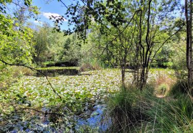
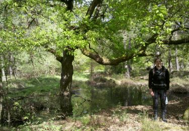
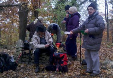
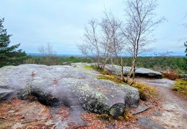
Petite boucle vers le Rocher du Cuvier Châtillon depuis Belle Croix.
Avec quelques beaux rochers à découvrir.
Positioning
Country:
France
Region :
Ile-de-France
Department/Province :
Seine-et-Marne
Municipality :
Fontainebleau
Location:
Unknown
Start:(Dec)
Start:(UTM)
475520 ; 5365429 (31U) N.
Comments
Trails nearby
Sentier des peintres
Walking
Medium
(11)
Barbizon,
Ile-de-France,
Seine-et-Marne,
France
1h 25min
Yes
Sur les traces de Césaire Sempité - Fontainebleau rocher canon
Walking
Easy
(1)
Fontainebleau,
Ile-de-France,
Seine-et-Marne,
France
17.3 km | 21 km-effort
4h 8min
Yes
3pi-150428 - DésertApremont-Jupiter
Walking
Easy
(1)
Fontainebleau,
Ile-de-France,
Seine-et-Marne,
France
16 km | 19.4 km-effort
6h 30min
Yes
Rando mares aux fees Gilles18 km
Walking
Very difficult
(1)
Fontainebleau,
Ile-de-France,
Seine-et-Marne,
France
17.8 km | 22 km-effort
4h 58min
Yes
170822 - RECO BoisLeRoi-Cmcas
Walking
Very easy
(1)
Bois-le-Roi,
Ile-de-France,
Seine-et-Marne,
France
8.7 km | 10 km-effort
2h 41min
Yes
131204-GLM - CxToulouse-StLouis
Walking
Easy
(3)
Fontainebleau,
Ile-de-France,
Seine-et-Marne,
France
9 km | 10.7 km-effort
3h 0min
Yes
Fontainebleau les monts de Fay
On foot
Medium
Fontainebleau,
Ile-de-France,
Seine-et-Marne,
France
22 km | 27 km-effort
6h 12min
Yes
Rando des trois châteaux parcours 42 km Fontainebleau Vaux le vicomte Blandy ...
On foot
Very difficult
Fontainebleau,
Ile-de-France,
Seine-et-Marne,
France
43 km | 50 km-effort
11h 23min
No
Boucle Fontainebleau
Walking
Medium
Fontainebleau,
Ile-de-France,
Seine-et-Marne,
France
29 km | 34 km-effort
5h 49min
Yes