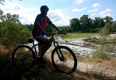
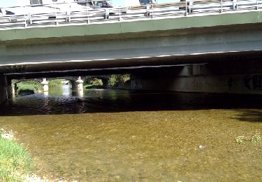
Trail Walking Étoile-sur-Rhône - beauvallon - Photo
© OpenStreetMap contributors
Length
Length
13.7 km
Max alt
Max alt
191 m
Uphill gradient
Uphill gradient
160 m
Km-Effort
Km-Effort  
15.8 km
Min alt
Min alt
112 m
Downhill gradient
Downhill gradient
160 m
Boucle
Boucle
Yes
Creation date :
2024-01-07 08:24:13.893
Updated on :
2024-01-11 14:12:47.56

(0 Reviews)

Walking
Walking
4h47
Difficulty : Difficult

Scan this QR Code to open this trail in the SityTrail application

FREE GPS app for hiking

Logo SityTrail SityTrail

IGN / Geographical institutes

Download SityTrail from the App Store Download SityTrail from Google Play

Logo SityTrail SityTrail World

The world is yours!

Download SityTrail from the App Store Download SityTrail from Google Play Download SityTrail on Huawei AppGallery

About

Trail Walking of 13.7 km to be discovered at Auvergne-Rhône-Alpes, Drôme, Étoile-sur-Rhône. This trail is proposed by Jean Claude Marchand.

Elevation profile

Positioning

Country:
France
Region :
Auvergne-Rhône-Alpes
Department/Province :
Drôme
Municipality :
Étoile-sur-Rhône
Location:
Unknown
Start:(UTM)
649808 ; 4967283 (31T) N.

Trails nearby

Trail Donkey back riding Livron-sur-Drôme - Abiche toundra - Photo
Donkey back riding
Isurissa26

Donkey back riding

Easy
Livron-sur-Drôme, Auvergne-Rhône-Alpes, Drôme, France
5.5 km | 6.4 km-effort
1h 45min
Yes
Trail Walking Montéléger - Le long de la Véore - Photo
Walking
bernadette revoux

Walking

Very easy
Montéléger, Auvergne-Rhône-Alpes, Drôme, France
11 km | 12.1 km-effort
2h 48min
Yes
Trail Walking Montéléger - Le parc de Lorient ( Montéléger) 2019 - Photo
Walking
raygautier

Walking

Montéléger, Auvergne-Rhône-Alpes, Drôme, France
7.1 km | 8 km-effort
1h 53min
No
Trail Walking Soyons - Marche rapide Charmes sur Rhone - Photo
Walking
patchil

Walking

Easy
Soyons, Auvergne-Rhône-Alpes, Ardèche, France
4.9 km | 5.4 km-effort
1h 25min
No
Trail Mountain bike Beaumont-lès-Valence - Ramieres Crest - Photo
Mountain bike
Philippos07

Mountain bike

Medium
Beaumont-lès-Valence, Auvergne-Rhône-Alpes, Drôme, France
64 km | 69 km-effort
4h 24min
Yes
Trail Walking Montéléger - veore  1 - Photo
Walking
christian4

Walking

Very easy
Montéléger, Auvergne-Rhône-Alpes, Drôme, France
14.3 km | 15.5 km-effort
3h 5min
Yes
Trail Walking Beauvallon - 26 - chemin de Diane  - Photo
Walking
guilmanu

Walking

Medium
Beauvallon, Auvergne-Rhône-Alpes, Drôme, France
8.3 km | 9.4 km-effort
2h 8min
Yes
Trail Walking Montéléger - rando - Photo
Walking
francispiche

Walking

Very easy
Montéléger, Auvergne-Rhône-Alpes, Drôme, France
8.3 km | 9.3 km-effort
1h 46min
No
Trail Walking Beauvallon - parc Lorient mlnteleger - Photo
Walking
Jojo04

Walking

Medium
Beauvallon, Auvergne-Rhône-Alpes, Drôme, France
6 km | 6.7 km-effort
56min
No


Close
My subscriptions