

2024-01-11 berne reconnue

Christianlabourie
User

Length
7.3 km

Max alt
326 m

Uphill gradient
145 m

Km-Effort
9.2 km

Min alt
213 m

Downhill gradient
147 m
Boucle
Yes
Creation date :
2024-01-11 08:10:51.963
Updated on :
2024-01-11 13:39:01.315
2h05
Difficulty : Medium

FREE GPS app for hiking
About
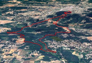
Trail Walking of 7.3 km to be discovered at Provence-Alpes-Côte d'Azur, Var, Flayosc. This trail is proposed by Christianlabourie.
Description
Facile. Dénivelé bien réparti avec au Km une descente de 60m courte comportant des gros cailloux. Quelques petits coups de cul en montée et un fossé pour passer un ru un peu pentu sur 4 m et à sécuriser vers le Km4.
Positioning
Country:
France
Region :
Provence-Alpes-Côte d'Azur
Department/Province :
Var
Municipality :
Flayosc
Location:
Unknown
Start:(Dec)
Start:(UTM)
287002 ; 4821547 (32T) N.
Comments
Trails nearby

Flayosc


Walking
Easy
(4)
Flayosc,
Provence-Alpes-Côte d'Azur,
Var,
France

8.3 km | 10.6 km-effort
2h 18min
Yes
SityTrail - Le hameau de Sauveclare


Walking
Easy
Lorgues,
Provence-Alpes-Côte d'Azur,
Var,
France

14.2 km | 20 km-effort
6h 0min
Yes
Lorgues et l'Ermitage Saint-Ferréol


Walking
Medium
Lorgues,
Provence-Alpes-Côte d'Azur,
Var,
France

5.5 km | 8 km-effort
1h 48min
Yes
Rebouillon le long de la Nartuby


Walking
Easy
Draguignan,
Provence-Alpes-Côte d'Azur,
Var,
France

4.8 km | 5.9 km-effort
1h 33min
Yes
20210922 Berne3 les Oussiayes


Walking
Medium
Flayosc,
Provence-Alpes-Côte d'Azur,
Var,
France

11.5 km | 14.8 km-effort
4h 39min
Yes
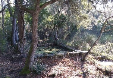
20190130 Mentone Est rando réelle.


Walking
Easy
Lorgues,
Provence-Alpes-Côte d'Azur,
Var,
France

17.4 km | 22 km-effort
4h 40min
Yes
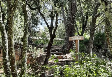
Lorgues - sentier découverte Saint-Ferréol


Walking
Easy
Lorgues,
Provence-Alpes-Côte d'Azur,
Var,
France

2.6 km | 3.8 km-effort
1h 3min
Yes
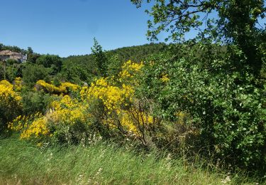
"Les Peylons"


Walking
Medium
Flayosc,
Provence-Alpes-Côte d'Azur,
Var,
France

9 km | 11.4 km-effort
2h 35min
Yes
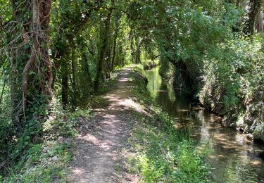
Tour St Jaumes pont d’argens thoronet


sport
Very easy
Lorgues,
Provence-Alpes-Côte d'Azur,
Var,
France

18.1 km | 23 km-effort
Unknown
Yes


 SityTrail


